1,392 itinéraires dans Fränkische Alb. Trouvez votre prochain parcours sur Isomaps — cartes topo, GPS et profil altimétrique.
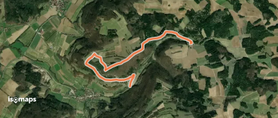
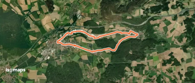
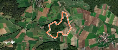
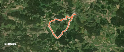
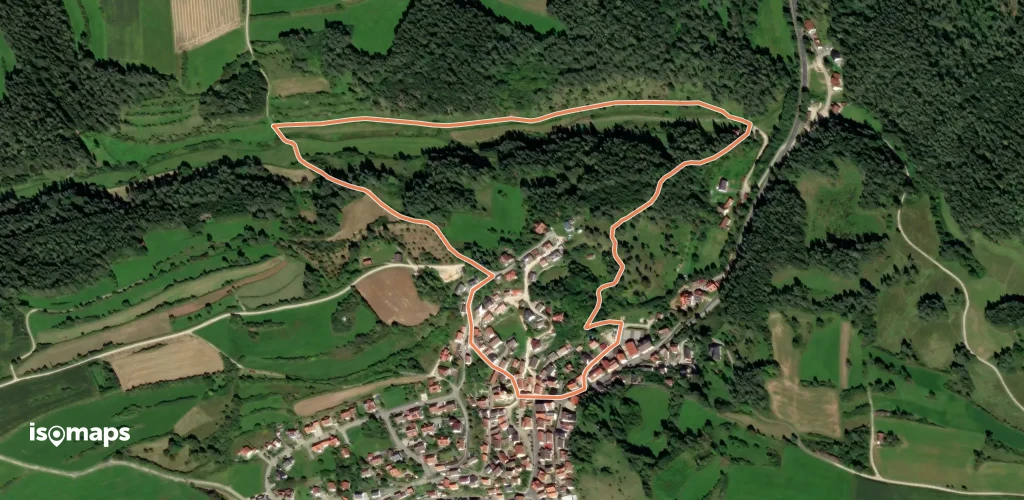
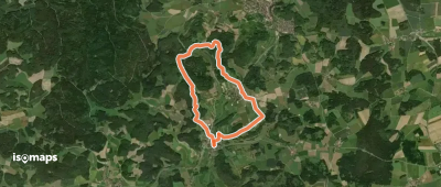
Roßdorf am Berg, Allemagne
3,72 km +101 m 1h 5min
Très facile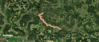
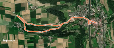
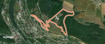
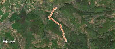
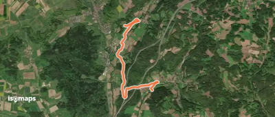
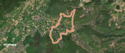
Scheßlitz, Allemagne
9,55 km +134 m 2h 0min
Facile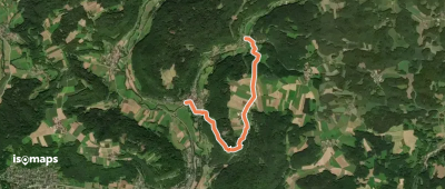
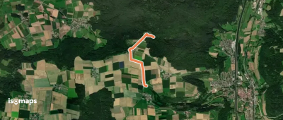
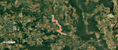
Poppenhof, Allemagne
5,94 km +150 m 1h 25min
Très facile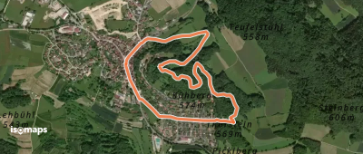
Essayez Isomaps gratuitement pendant 7 jours. Disponible sur iOS et Android.
