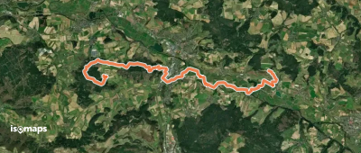
1,392 itinéraires dans Fränkische Alb. Trouvez votre prochain parcours sur Isomaps — cartes topo, GPS et profil altimétrique.
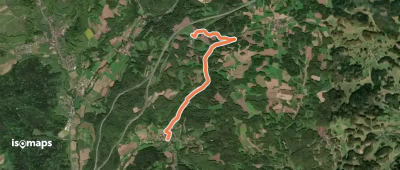
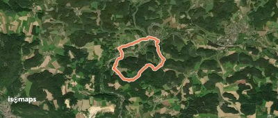
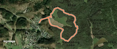
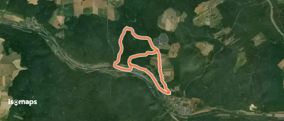
Hirschbach, Allemagne
8,88 km +270 m 2h 10min
Facile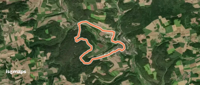
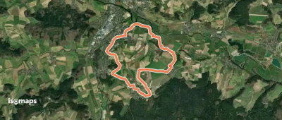
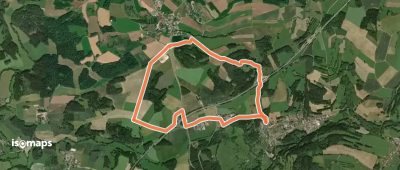
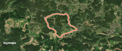
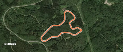
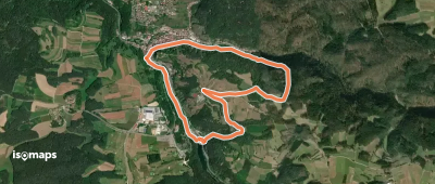
Nittendorf, Allemagne
3,33 km +126 m 50min
Très facile
Essayez Isomaps gratuitement pendant 7 jours. Disponible sur iOS et Android.
