Fränkische Alb
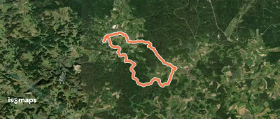
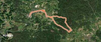
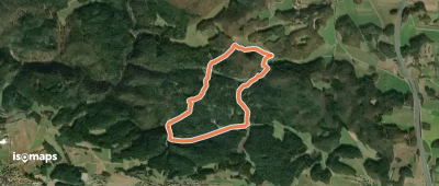
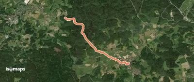
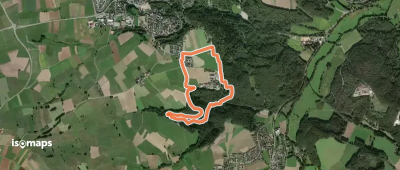
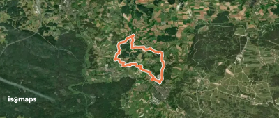
1,392 itinéraires dans Fränkische Alb. Trouvez votre prochain parcours sur Isomaps — cartes topo, GPS et profil altimétrique.
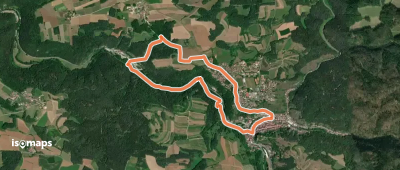
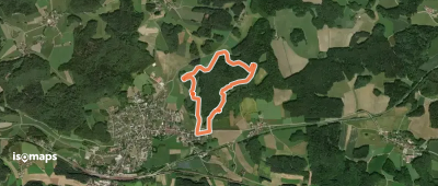
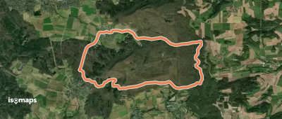
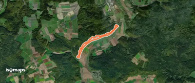
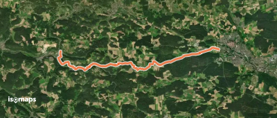
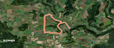
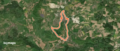
Kirchahorn, Allemagne
7,10 km
+212 m
1h 30min
Très facile
Pielenhofen, Allemagne
8,61 km
+335 m
2h 15min
Facile
Kastl, Allemagne
21,10 km
+525 m
4h 45min
Difficile
Schernfeld, Allemagne
22,39 km
+355 m
4h 55min
Difficile
Essing, Allemagne
10,20 km
+310 m
2h 35min
Facile
Demmelsdorf, Allemagne
7,90 km
+250 m
2h 0min
Très facile
Rögling, Allemagne
7,84 km
+141 m
1h 35min
Très facile
Nußhausen, Allemagne
11,46 km
+285 m
2h 50min
Facile
Bettbrunn, Allemagne
6,33 km
+110 m
1h 20min
Très facile
Pfünz, Allemagne
10,05 km
+210 m
2h 15min
Facile
Monheim, Allemagne
14,55 km
+148 m
3h 5min
Facile
Essing, Allemagne
6,83 km
+145 m
1h 35min
Très facile
Bettbrunn, Allemagne
7,84 km
+168 m
1h 40min
Très facile
Gundersreuth, Allemagne
17,81 km
+359 m
3h 50min
Modéré
Adelsholz, Allemagne
7,95 km
+203 m
1h 55min
Très facile
Obertrubach, Allemagne
4,14 km
+125 m
1h 0min
Très facile
Modschiedel, Allemagne
15,93 km
+368 m
3h 40min
Modéré
Hollfeld, Allemagne
2,71 km
+87 m
40min
Très facile
Gunzenheim, Allemagne
13,30 km
+243 m
2h 45min
Facile
Bettbrunn, Allemagne
8,04 km
+126 m
1h 40min
Facile