Nordrhein-Westfalen

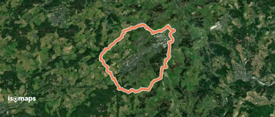
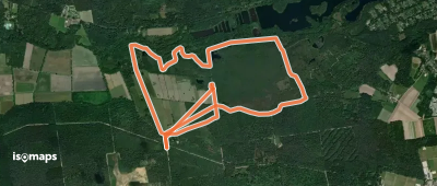
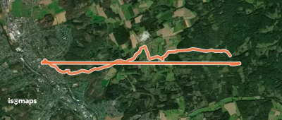
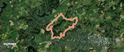
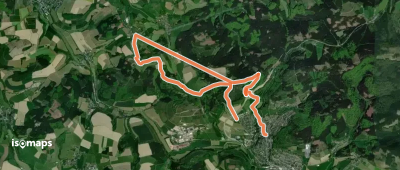
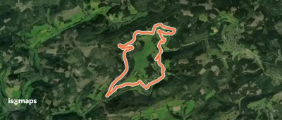
6,248 itinéraires dans Nordrhein-Westfalen. Trouvez votre prochain parcours sur Isomaps — cartes topo, GPS et profil altimétrique.
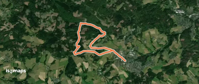
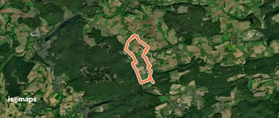
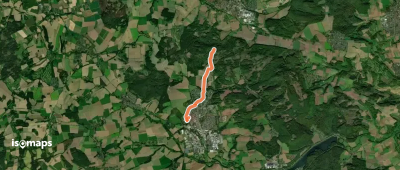
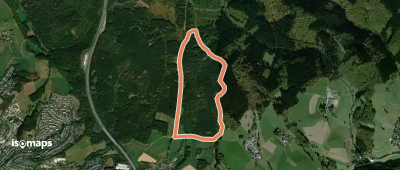
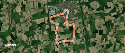
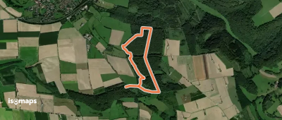
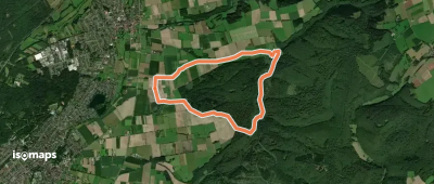
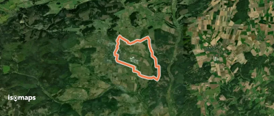
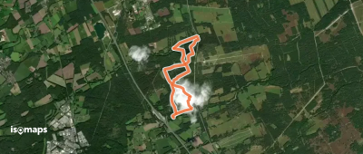
Drabenderhöhe Rundweg A7

Drabenderhöhe, Allemagne

8,13 km +263 m 2h 5min

Facile
Rundweg um Elbrinxen (E)

Elbrinxen, Allemagne

9,33 km +249 m 2h 5min

Facile
Nelkenweg Zubringer 2

Blomberg, Allemagne

4,29 km +224 m 1h 5min

Très facile
Stoltenberg Rundweg A4

Willertshagen, Allemagne

3,42 km +132 m 50min

Très facile
O Rund um Waldbröl
O Rund um Waldbröl

Hahn, Allemagne

18,46 km +573 m 4h 20min

Modéré
Tackenbendener Runde

Brüggen, Allemagne

6,30 km +110 m 1h 30min

Très facile
Hexenbuchen Rundweg A7

Hohe Mark, Allemagne

5,06 km +122 m 1h 5min

Très facile
T Menden - Kloster Oelinghausen

Bremke, Allemagne

7,97 km +295 m 1h 50min

Très facile
Ascheberg Rundweg A3

Ascheberg, Allemagne

8,79 km +123 m 1h 50min

Facile
Mittelholz
Mittelholz

Buchholz, Allemagne

3,27 km +115 m 50min

Très facile
Pilgerweg Du-E
Pilgerweg Du-E

Ruhrort, Allemagne

43,15 km +844 m 19h 0min

Très difficile
X16 Kaiser-Otto-Weg
X16 Kaiser-Otto-Weg

Overlackersberg, Allemagne

87,57 km +3 453 m 48h 10min

Très difficile
Rundweg um Hachen
Rundweg um Hachen

Enkhausen, Allemagne

19,69 km +855 m 5h 20min

Modéré
Uelfebad Rundweg A5
Uelfebad Rundweg A5

Radevormwald, Allemagne

8,89 km +379 m 5h 5min

Facile
Bad Fredeburg Rundweg BF4

Bad Fredeburg, Allemagne

7,46 km +427 m 2h 10min

Facile
Nordenau Rundweg No1

Lengenbeck, Allemagne

10,27 km +420 m 3h 15min

Modéré
KlimaErlebnisRoute 3: Lippspringer Wald

Schlangen, Allemagne

7,92 km +259 m 1h 55min

Très facile
Medebach Rundweg M4
Medebach Rundweg M4

Medebach, Allemagne

11,26 km +233 m 2h 25min

Facile
Heideland Rundwanderweg Hövelhof

Wasserstrang, Allemagne

6,48 km +117 m 1h 25min

Très facile

Prêt pour votre prochaine sortie ?

Essayez Iso Maps gratuitement pendant 7 jours. Disponible sur iOS et Android.

Télécharger sur iOS Télécharger sur Android APK (sans Google)