1,373 itinéraires dans Odenwald. Trouvez votre prochain parcours sur Isomaps — cartes topo, GPS et profil altimétrique.
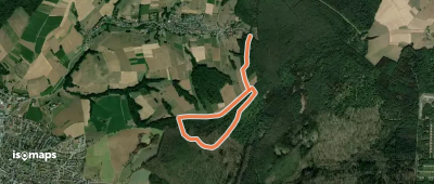
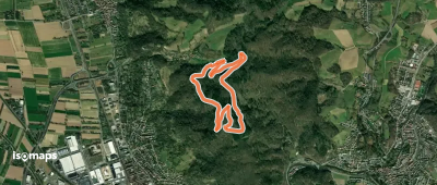
Dreimühlen, Allemagne
3,06 km +64 m 40min
Très facile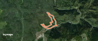
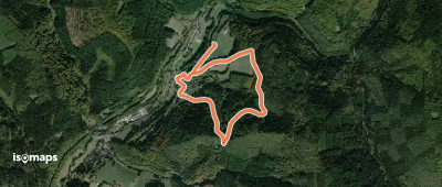
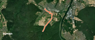
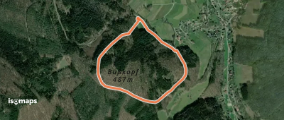
Güttersbach, Allemagne
2,28 km +112 m 35min
Très facile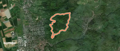
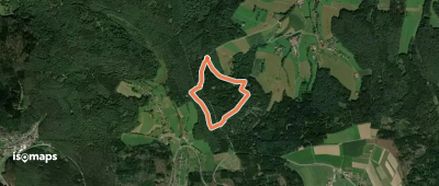
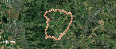
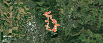
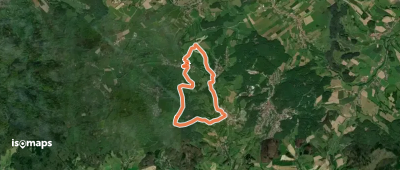
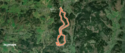
Zwingenberg, Allemagne
3,71 km +206 m 1h 20min
Très facile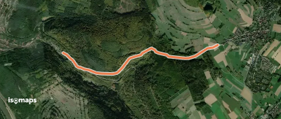
Laudenbach, Allemagne
9,69 km +431 m 2h 45min
Facile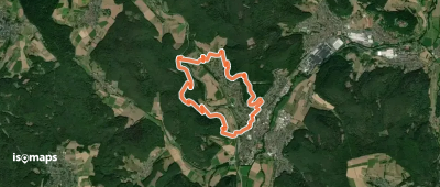
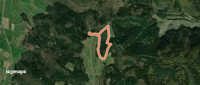
Birkenau, Allemagne
3,84 km +182 m 1h 10min
Très facile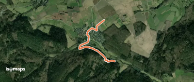
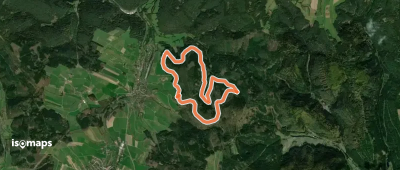
Birkenau, Allemagne
10,45 km +650 m 4h 0min
Modéré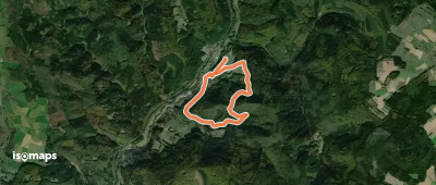
Obernburg am Main, Allemagne
3,28 km +8 m 1h 20min
Très facile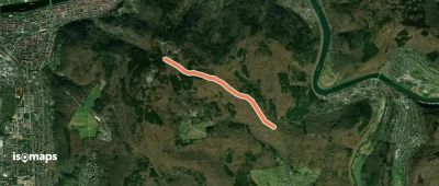
Güterberg, Allemagne
7,93 km +316 m 2h 0min
Facile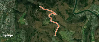
Essayez Isomaps gratuitement pendant 7 jours. Disponible sur iOS et Android.
