1,373 itinéraires dans Odenwald. Trouvez votre prochain parcours sur Isomaps — cartes topo, GPS et profil altimétrique.
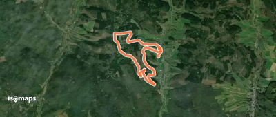
Heddesbach, Allemagne
4,01 km +204 m 1h 20min
Très facile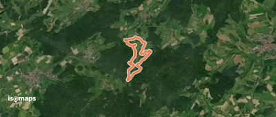
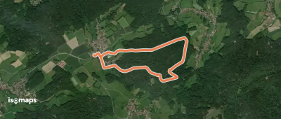
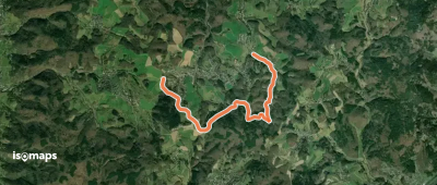
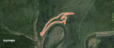
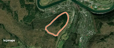
Lützelbach, Allemagne
3,79 km +200 m 2h 5min
Très facile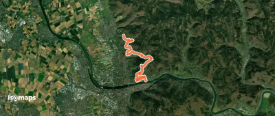
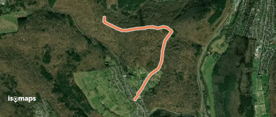
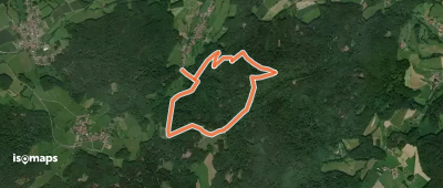
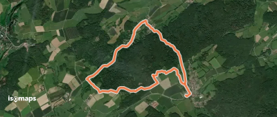
Lützelbach, Allemagne
2,86 km +173 m 50min
Très facile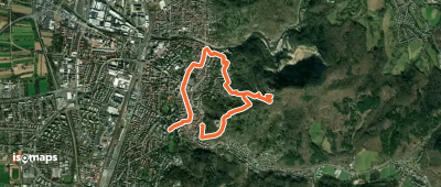
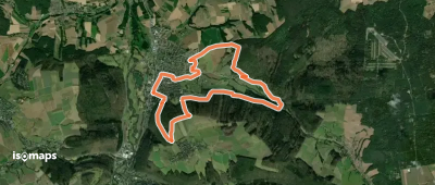
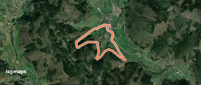
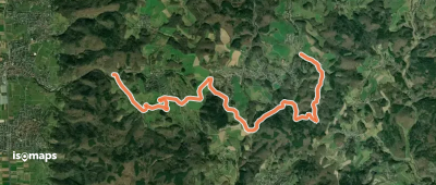
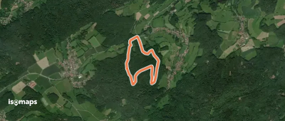
Bad König, Allemagne
10,57 km +366 m 2h 35min
Facile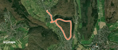
Gaiberg, Allemagne
3,31 km +137 m 1h 5min
Très facile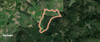
Erzbach, Allemagne
3,78 km +140 m 55min
Très facile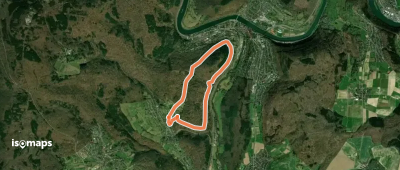
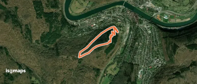
Gaiberg, Allemagne
6,26 km +276 m 2h 30min
Facile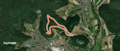
Neustadt, Allemagne
3,73 km +134 m 55min
Très facileEssayez Isomaps gratuitement pendant 7 jours. Disponible sur iOS et Android.
