2,368 itinéraires dans Rheinland-Pfalz. Trouvez votre prochain parcours sur Isomaps — cartes topo, GPS et profil altimétrique.

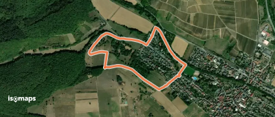
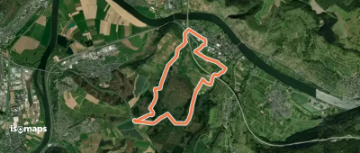

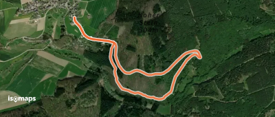
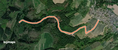
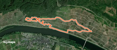

Kaltenengers, Allemagne
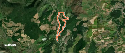
13,87 km +473 m 3h 25min
Facile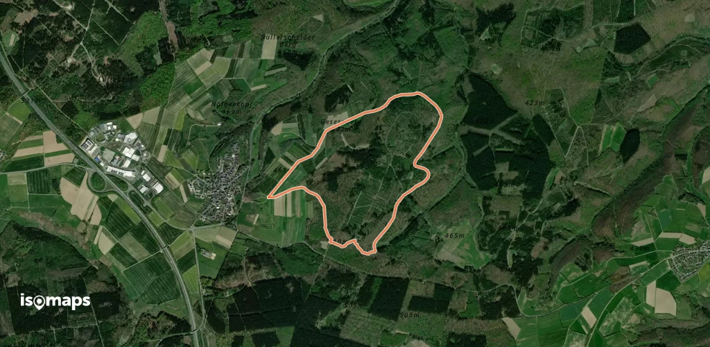
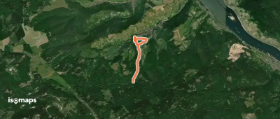
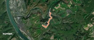
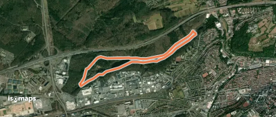
![HöhenLuft [Bad Ems]](https://static-tiles.b-cdn.net/screenshots/screenshot_trace_49514.webp)
Essayez Isomaps gratuitement pendant 7 jours. Disponible sur iOS et Android.
