402 itinéraires dans Sachsen-Anhalt. Trouvez votre prochain parcours sur Isomaps — cartes topo, GPS et profil altimétrique.
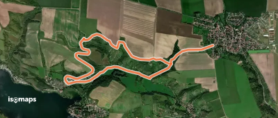
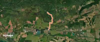

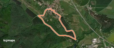
Memleben, Allemagne
3,15 km +177 m 1h 5min
Très facile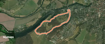

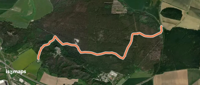
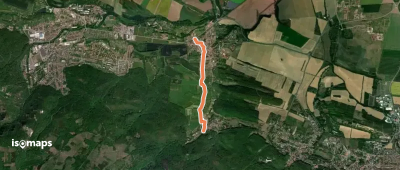
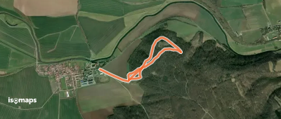
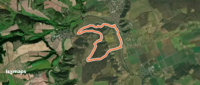
Blankenburg, Allemagne
6,95 km +273 m 2h 20min
Facile

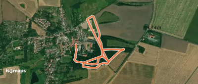
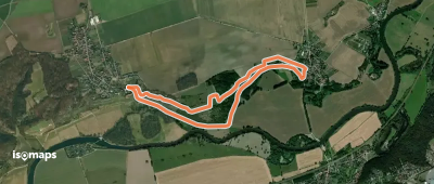
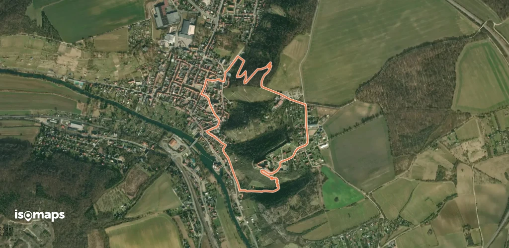
Blankenburg, Allemagne
4,44 km +151 m 1h 5min
Très facile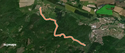
Essayez Iso Maps gratuitement pendant 7 jours. Disponible sur iOS et Android.
