402 itinéraires dans Sachsen-Anhalt. Trouvez votre prochain parcours sur Isomaps — cartes topo, GPS et profil altimétrique.
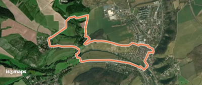
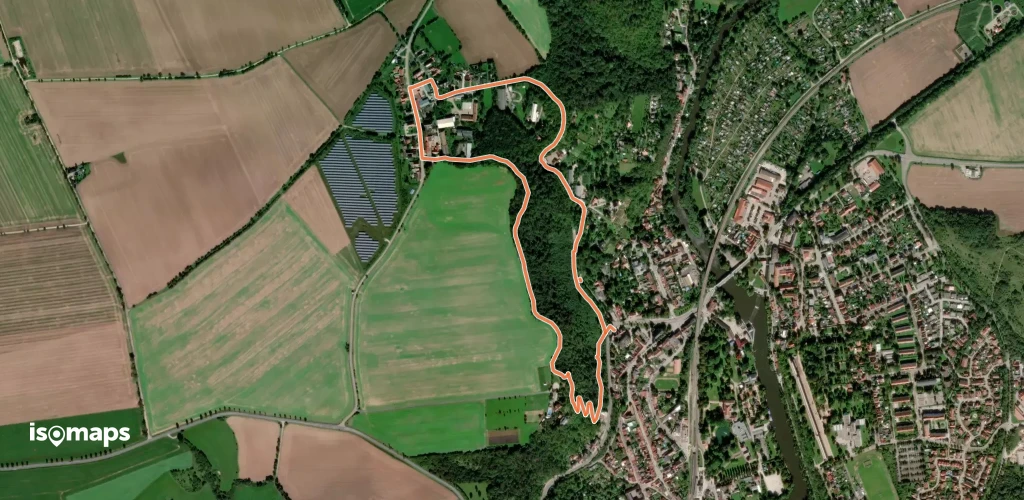
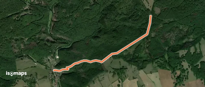
Balgstädt, Allemagne
7,40 km +191 m 1h 45min
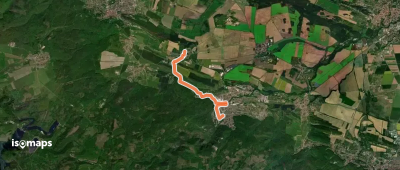
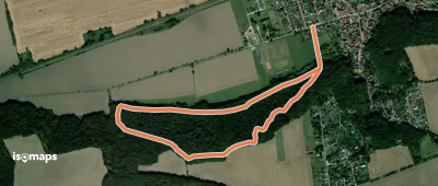
Timmenrode, Allemagne
5,99 km +148 m 1h 25min
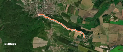
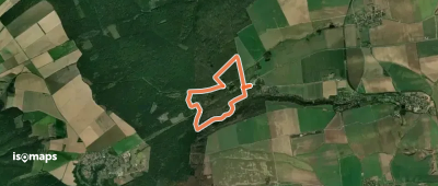
Blankenburg, Allemagne
4,42 km +132 m 1h 20min
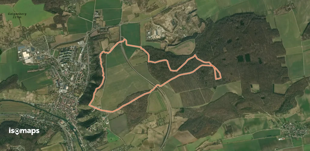
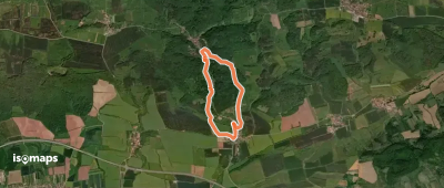
Pödelist, Allemagne
7,58 km +164 m 1h 40min
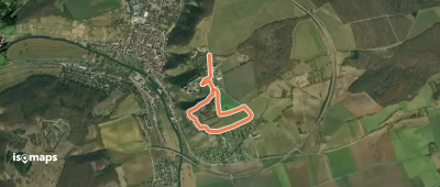
Bad Kösen, Allemagne
3,21 km +152 m 1h 5min
Freyburg, Allemagne
2,50 km +51 m 40min
4,34 km +43 m 1h 0min
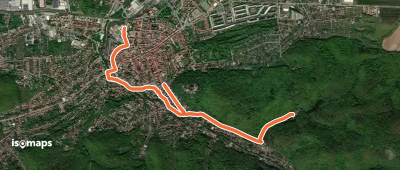
Wernigerode, Allemagne
3,87 km +109 m 1h 55min
Schulpforte, Allemagne
3,57 km +188 m 1h 10min
Wettelrode, Allemagne
6,75 km +217 m 2h 15min
Rottleberode, Allemagne
11,31 km +147 m 2h 50min
10,48 km +446 m 2h 40min
Grillenberg, Allemagne
2,93 km +172 m 50min
Leißling, Allemagne
2,90 km +129 m 50min
Rothenburg, Allemagne
4,71 km +119 m 1h 10min
Schmon, Allemagne
5,24 km +137 m 1h 15min
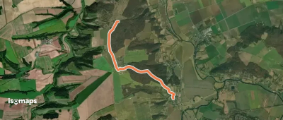
Questenberg, Allemagne
5,14 km +199 m 1h 40min
Rhoden, Allemagne
3,91 km +124 m 55min
Agnesdorf, Allemagne
2,30 km +112 m 50min
Uftrungen, Allemagne
5,31 km +220 m 1h 40min
Essayez Isomaps gratuitement pendant 7 jours. Disponible sur iOS et Android.