8,548 itinéraires dans Alpes du Nord. Trouvez votre prochain parcours sur Isomaps — cartes topo, GPS et profil altimétrique.
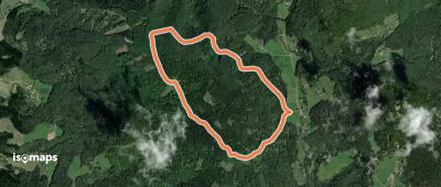
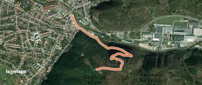
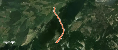
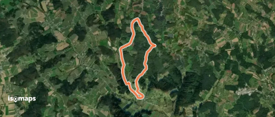
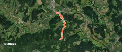
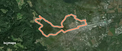
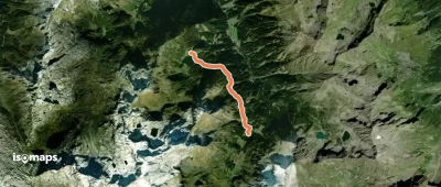
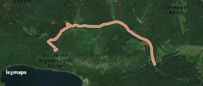
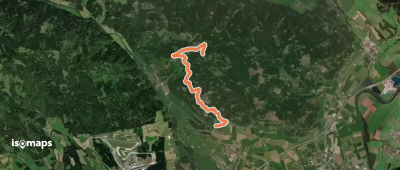
Seckau, Autriche
4,61 km +56 m 1h 30min
Très facile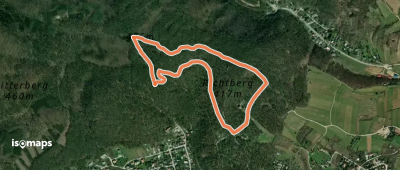
Essayez Isomaps gratuitement pendant 7 jours. Disponible sur iOS et Android.
