1,816 itinéraires dans Wallonie. Trouvez votre prochain parcours sur Isomaps — cartes topo, GPS et profil altimétrique.
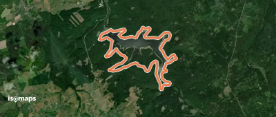
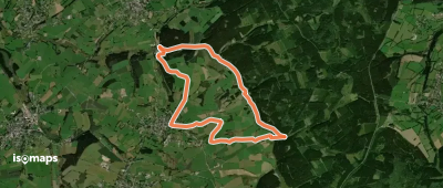
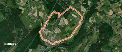
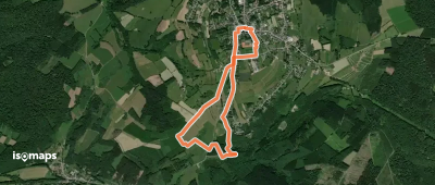
Les Géronsarts, België / Belgique / Belgien
3,21 km +58 m 40min
Très facile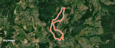
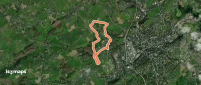

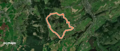
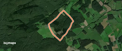
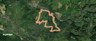
Stoumont, België / Belgique / Belgien
4,27 km +195 m 1h 20min
Très facile
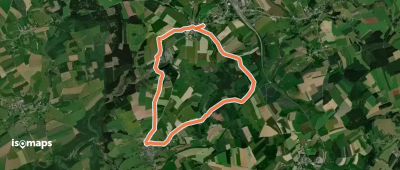
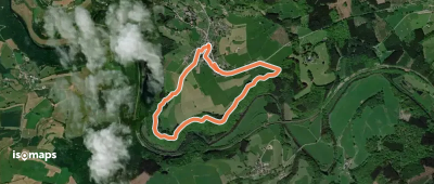
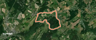
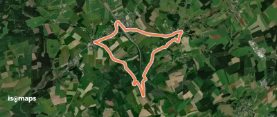
Nassogne, België / Belgique / Belgien
4,32 km +134 m 1h 0min
Très facile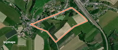

Essayez Isomaps gratuitement pendant 7 jours. Disponible sur iOS et Android.
