1,816 itinéraires dans Wallonie. Trouvez votre prochain parcours sur Isomaps — cartes topo, GPS et profil altimétrique.
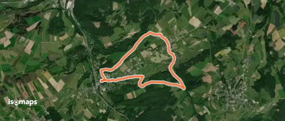
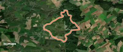
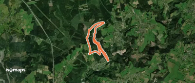
Olloy-sur-Viroin, België / Belgique / Belgien
10,13 km +313 m 2h 25min
Facile
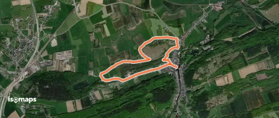
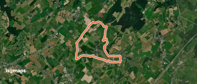
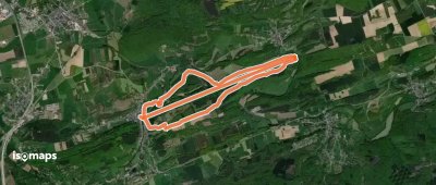
Aywaille, België / Belgique / Belgien
4,77 km +192 m 1h 20min
Très facile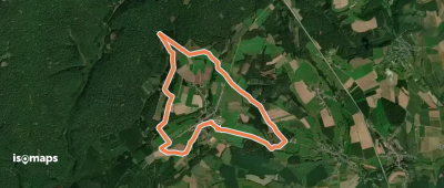
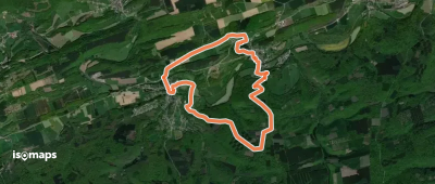
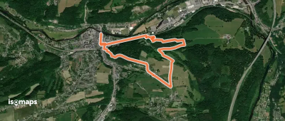
Vorder Hart, België / Belgique / Belgien
10,46 km +234 m 2h 15min
Facile

Ouren, België / Belgique / Belgien
157,46 km +4 143 m 38h 30min
Très difficile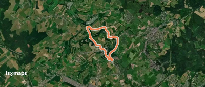
Anseremme, België / Belgique / Belgien
104,74 km +2 696 m 25h 50min
Très difficile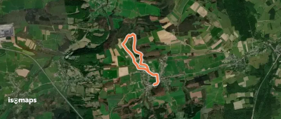
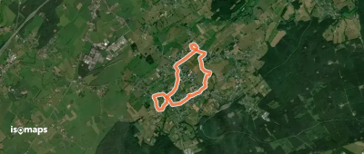
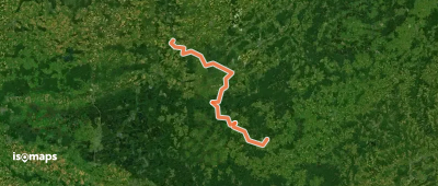
Tellin, België / Belgique / Belgien
4,42 km +95 m 1h 0min
Très facile

Essayez Iso Maps gratuitement pendant 7 jours. Disponible sur iOS et Android.
