108 itinéraires dans Budai-hegység. Trouvez votre prochain parcours sur Isomaps — cartes topo, GPS et profil altimétrique.

János-hegy, Hongrie
10,25 km +318 m 2h 35min
Facile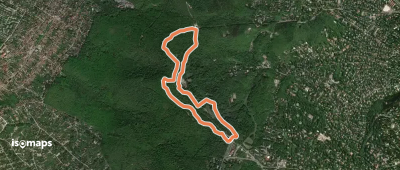
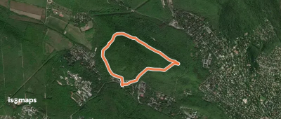
Budakeszi, Hongrie
3,71 km +113 m 1h 5min
Très facile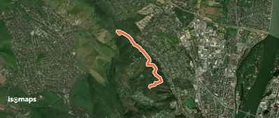
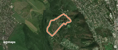
Pesthidegkút, Hongrie
3,69 km +144 m 2h 20min
Très facile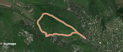
János-hegy, Hongrie
4,69 km +152 m 1h 20min
Très facile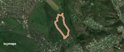
Budakeszi, Hongrie
5,13 km +196 m 1h 35min
Très facile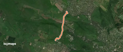
Pesthidegkút, Hongrie
3,06 km +94 m 50min
Très facile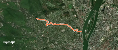
Budapest II. kerület, Hongrie
5,46 km +112 m 1h 20min
Très facile
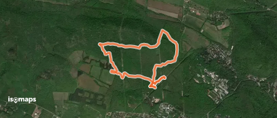
Remeteszőlős, Hongrie
9,03 km +192 m 2h 10min
Facile
Budakeszi, Hongrie
2,89 km +97 m 50min
Très facile
Juliannamajor, Hongrie
5,20 km +176 m 1h 30min
Très facile
Budaörs, Hongrie
3,08 km +109 m 55min
Très facile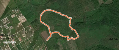
Telki, Hongrie
2,74 km +131 m 45min
Très facile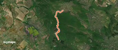
Nagykovácsi, Hongrie
7,71 km +274 m 2h 10min
Facile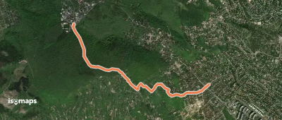
Orbánhegy, Hongrie
3,67 km +259 m 1h 10min
Très facile
Csillebérc, Hongrie
4,67 km +199 m 1h 20min
Très facile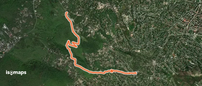
Pesthidegkút, Hongrie
3,11 km +136 m 50min
Très facile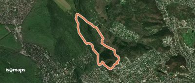
Pesthidegkút, Hongrie
4,29 km +183 m 1h 15min
Très facileEssayez Isomaps gratuitement pendant 7 jours. Disponible sur iOS et Android.
