108 itinéraires dans Budai-hegység. Trouvez votre prochain parcours sur Isomaps — cartes topo, GPS et profil altimétrique.
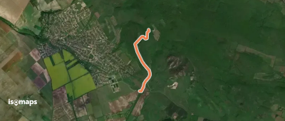
Telki, Hongrie
2,94 km +34 m 35min
Très facile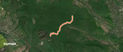
Nagy-Kopasz, Hongrie
3,15 km +93 m 55min
Très facile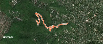
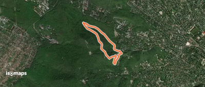
Zugliget, Hongrie
3,79 km +376 m 1h 55min
Facile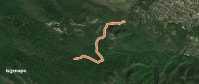
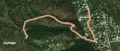
Pilisszentiván, Hongrie
2,43 km +191 m 40min
Très facile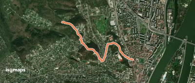
Óbuda, Hongrie
3,07 km +56 m 55min
Très facile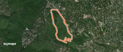
Óbuda, Hongrie
1,55 km +152 m 30min
Très facile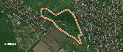
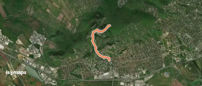
Remeteszőlős, Hongrie
2,70 km +116 m 1h 0min
Très facile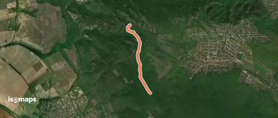
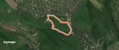
Budaörs, Hongrie
3,08 km +232 m 55min
Très facile
Csillebérc, Hongrie
2,73 km +32 m 45min
Très facileEssayez Isomaps gratuitement pendant 7 jours. Disponible sur iOS et Android.
