76 itinéraires dans Visegrádi-hegység. Trouvez votre prochain parcours sur Isomaps — cartes topo, GPS et profil altimétrique.
Szentendre, Hongrie
7,94 km +224 m 2h 5min
Très facile
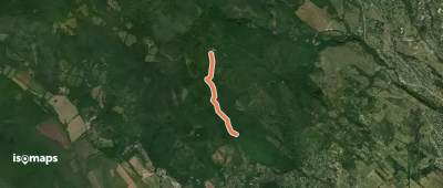
Dobogó-kő, Hongrie
1,97 km +192 m 40min
Très facile
Esztergom, Hongrie
3,27 km +246 m 1h 10min
Très facile
Dobogó-kő, Hongrie
2,81 km +66 m 40min
Très facile
Fekete-hegy, Hongrie
5,86 km +340 m 2h 0min
Facile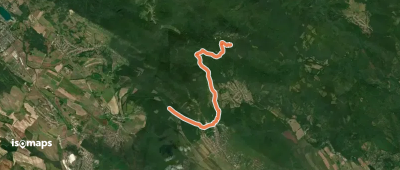
Bölcső-hegy, Hongrie
2,23 km +114 m 35min
Très facile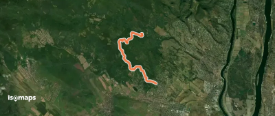
Jóvízmajor, Hongrie
8,49 km +458 m 3h 0min
Facile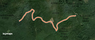
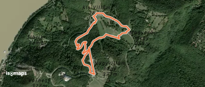
Nagyvillám, Hongrie
2,68 km +132 m 1h 10min
Très facile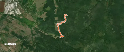
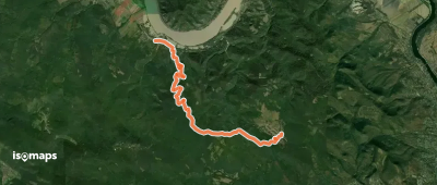
Pilisszentlászló, Hongrie
12,65 km +475 m 3h 55min
Modéré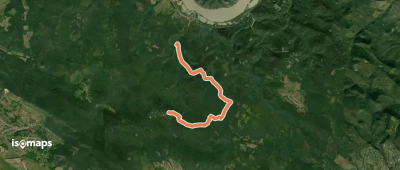
Dobogó-kő, Hongrie
9,42 km +279 m 3h 0min
Facile
Szakó-nyereg, Hongrie
3,88 km +131 m 1h 0min
Très facile
Kiskovácsi, Hongrie
4,00 km +172 m 1h 15min
Très facile
Leányfalu, Hongrie
3,92 km +30 m 50min
Très facileEssayez Iso Maps gratuitement pendant 7 jours. Disponible sur iOS et Android.
