76 itinéraires dans Visegrádi-hegység. Trouvez votre prochain parcours sur Isomaps — cartes topo, GPS et profil altimétrique.
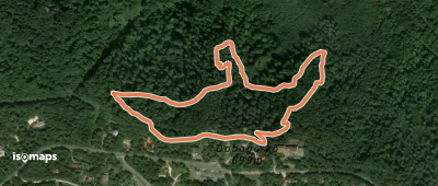
Dobogó-kő, Hongrie
1,94 km +142 m 55min
Très facile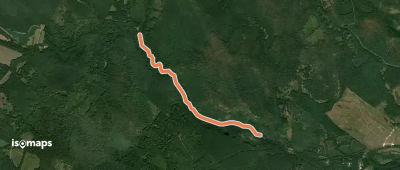
Jóvízmajor, Hongrie
2,34 km +80 m 35min
Très facile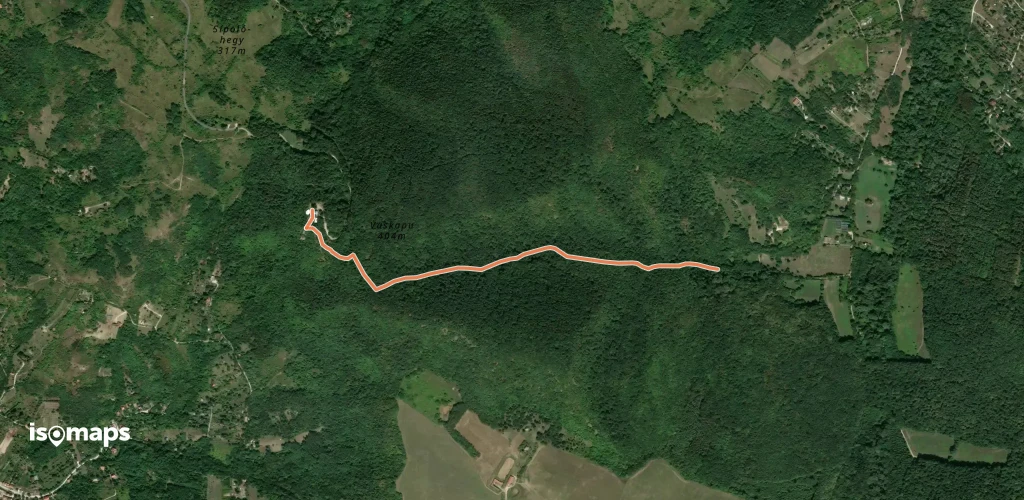
Vaskapu, Hongrie
1,54 km +193 m 35min
Très facile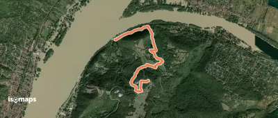
Nagyvillám, Hongrie
3,10 km +52 m 1h 10min
Très facile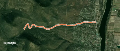
Baglyas-hegy, Hongrie
3,58 km +10 m 45min
Très facile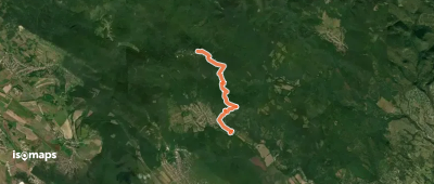
Dobogó-kő, Hongrie
6,60 km +82 m 1h 35min
Très facile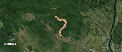
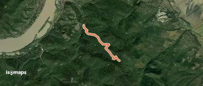
Csobánka, Hongrie
5,37 km +412 m 1h 50min
Facile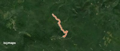
Essayez Isomaps gratuitement pendant 7 jours. Disponible sur iOS et Android.
