England

3,514 itinéraires dans England. Trouvez votre prochain parcours sur Isomaps — cartes topo, GPS et profil altimétrique.

Ventor Downs Prehistory and Wartime Walk, Isle of Wight

Ventnor, Royaume-Uni

3,94 km +212 m 1h 5min

Très facile
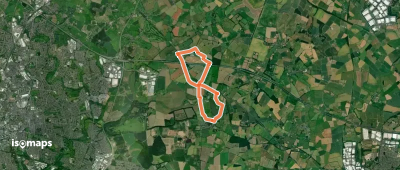
The River Trail
The River Trail

Croxton, Royaume-Uni

7,39 km +45 m 1h 30min

Très facile
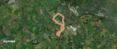
ACW Circular Walk 12A (short-cut for C12)

Brinklow, Royaume-Uni

10,00 km +83 m 2h 5min

Facile
Avebury Ridgeway Walk

Avebury Trusloe, Royaume-Uni

8,50 km +110 m 1h 45min

Facile
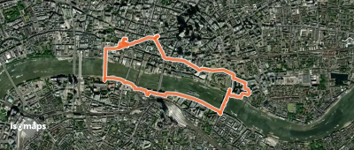
Jubilee Walkway (Eastern Loop)

City of London, Royaume-Uni

5,88 km +58 m 1h 15min

Très facile
Green Chain Walk section 4A

Charlton, Royaume-Uni

8,06 km +176 m 3h 30min

Facile
Nickey Line
Nickey Line

Hemel Hempstead, Royaume-Uni

11,72 km +133 m 2h 25min

Facile
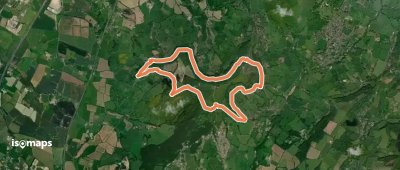
Faringdon Walk, Coleshill

Faringdon, Royaume-Uni

14,05 km +180 m 3h 0min

Facile
Former Chiltern Way
Former Chiltern Way

Dunstable, Royaume-Uni

4,32 km +69 m 55min

Très facile
The Warren Trail Circular

Beachamwell, Royaume-Uni

7,65 km +33 m 1h 30min

Très facile
Walk Smethwick Heritage Trail

Smethwick, Royaume-Uni

7,50 km +135 m 1h 35min

Très facile
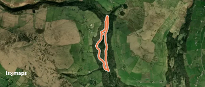
Crags Constitutional Walk

Walshaw, Royaume-Uni

2,73 km +88 m 40min

Très facile
Bruce Trail Friendship Trail

Little Haresfield, Royaume-Uni

9,73 km +353 m 2h 50min

Facile
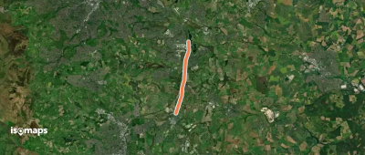
Trans-Pennine Trail (Beighton to Staveley spur)

Beighton, Royaume-Uni

7,36 km +68 m 1h 30min

Très facile
Acle Circular
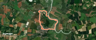
Acle Circular

Upton, Royaume-Uni

7,23 km +46 m 1h 30min

Très facile
Canalside Trail
Canalside Trail

Blacon, Royaume-Uni

3,18 km +42 m 40min

Très facile
STOOP Link Path 6 - Stevenage Outer Orbital Path

Langley End, Royaume-Uni

3,50 km +34 m 40min

Très facile
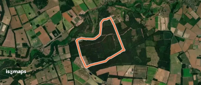
The West Harling Trail

Shadwell, Royaume-Uni

7,24 km +30 m 1h 25min

Très facile

Prêt pour votre prochaine sortie ?

Essayez Isomaps gratuitement pendant 7 jours. Disponible sur iOS et Android.

Télécharger sur iOS Télécharger sur Android APK (sans Google)
Isomaps Vos sorties outdoor, partout, même sans réseau
Installer Installer