3,514 itinéraires dans England. Trouvez votre prochain parcours sur Isomaps — cartes topo, GPS et profil altimétrique.

Otter Island, Royaume-Uni
2,99 km +78 m 40min
Très facile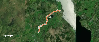
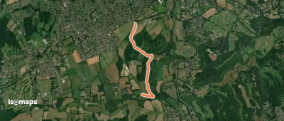
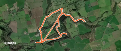
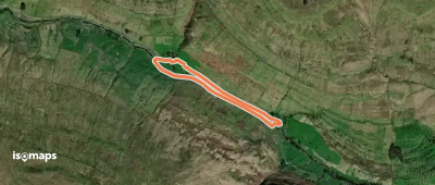
High Wray, Royaume-Uni
3,66 km +110 m 55min
Très facile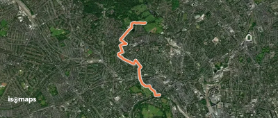
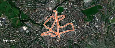
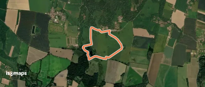
Bush End, Royaume-Uni
3,67 km +32 m 45min
Très facile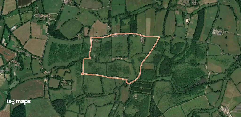

Fountains Abbey, Royaume-Uni
5,44 km +132 m 2h 40min
Très facile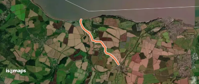

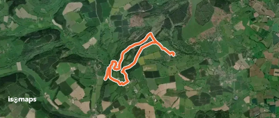

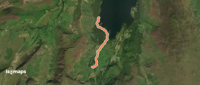
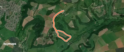
Langstrothdale Chase, Royaume-Uni
3,06 km +50 m 40min
Très facile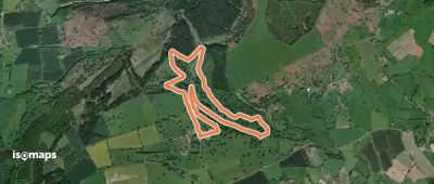
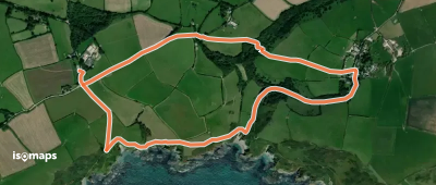
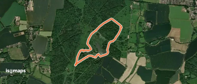
Pencarrow Head, Royaume-Uni
3,98 km +190 m 1h 10min
Très facile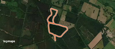
Essayez Isomaps gratuitement pendant 7 jours. Disponible sur iOS et Android.
