3,514 itinéraires dans England. Trouvez votre prochain parcours sur Isomaps — cartes topo, GPS et profil altimétrique.
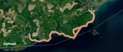
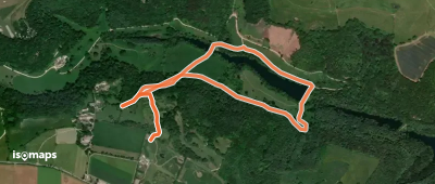
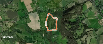

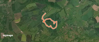


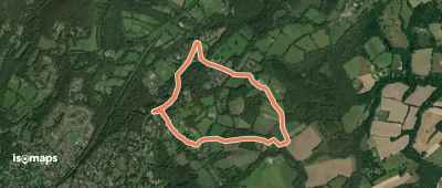


Selworthy, Royaume-Uni
3,17 km +170 m 55min
Très facile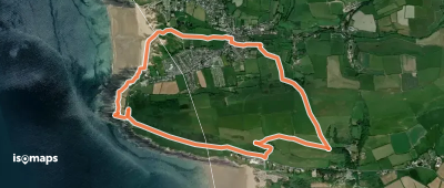

Essayez Isomaps gratuitement pendant 7 jours. Disponible sur iOS et Android.
