3,514 itinéraires dans England. Trouvez votre prochain parcours sur Isomaps — cartes topo, GPS et profil altimétrique.
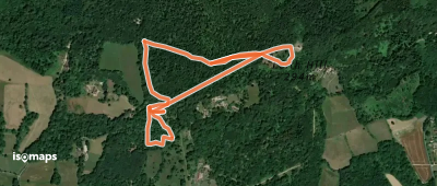
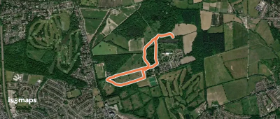
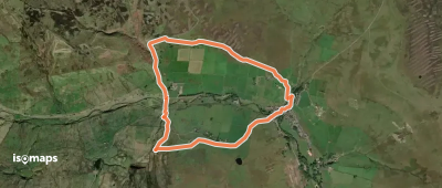
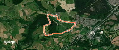
Forest Green, Royaume-Uni
2,58 km +200 m 1h 5min
Très facile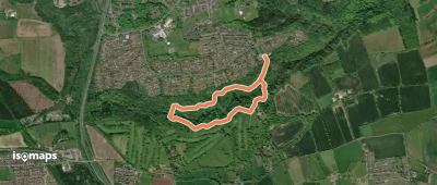

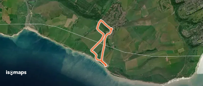
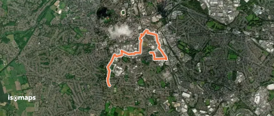
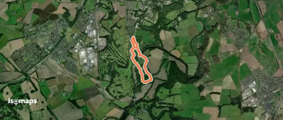
Hindhead, Royaume-Uni
10,69 km +318 m 4h 0min
Facile
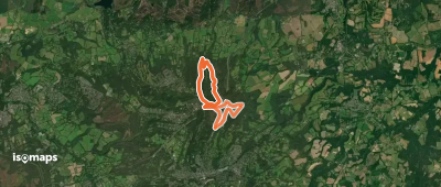
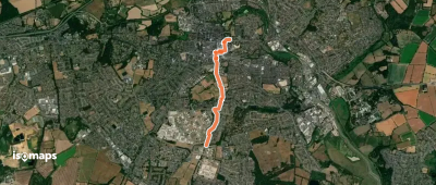
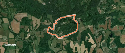
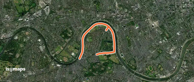
Friston, Royaume-Uni
5,32 km +192 m 1h 20min
Très facile


Essayez Isomaps gratuitement pendant 7 jours. Disponible sur iOS et Android.
