3,514 itinéraires dans England. Trouvez votre prochain parcours sur Isomaps — cartes topo, GPS et profil altimétrique.
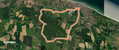
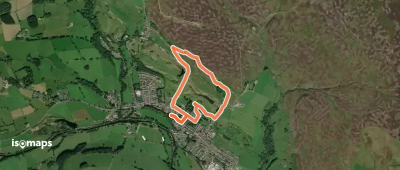
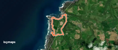
Porlock, Royaume-Uni
3,67 km +224 m 1h 5min
Très facile
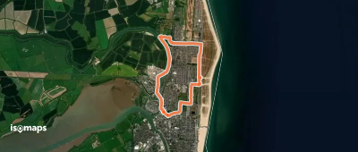
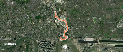
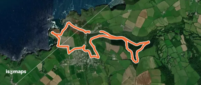
Polruan, Royaume-Uni
12,20 km +840 m 5h 15min
Difficile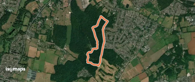
Abinger Hammer, Royaume-Uni
2,88 km +74 m 40min
Très facile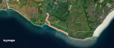
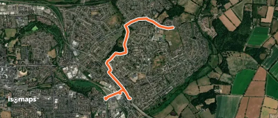
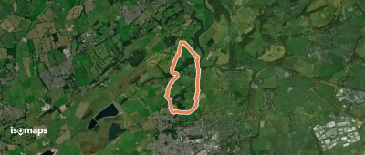
West Dean, Royaume-Uni
5,98 km +235 m 1h 30min
Très facile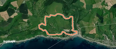
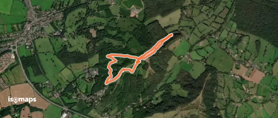

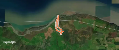
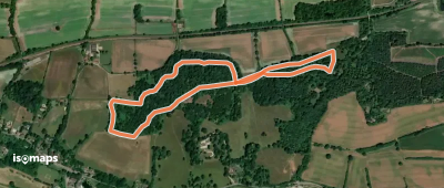
Boscastle, Royaume-Uni
7,00 km +311 m 4h 45min
Facile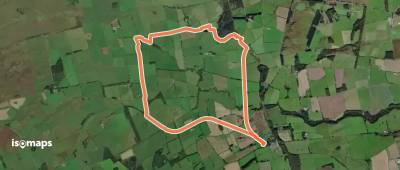
Essayez Isomaps gratuitement pendant 7 jours. Disponible sur iOS et Android.
