3,514 itinéraires dans England. Trouvez votre prochain parcours sur Isomaps — cartes topo, GPS et profil altimétrique.


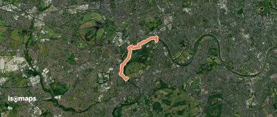
Kew, Royaume-Uni
5,85 km +45 m 1h 15min
Très facile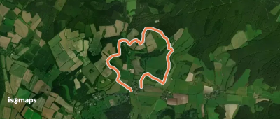
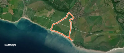
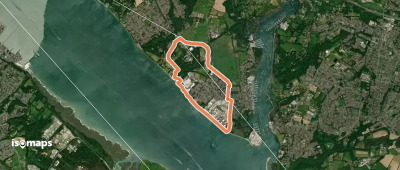
Singleton, Royaume-Uni
7,85 km +268 m 1h 50min
Très facile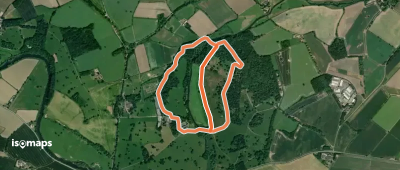
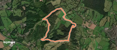
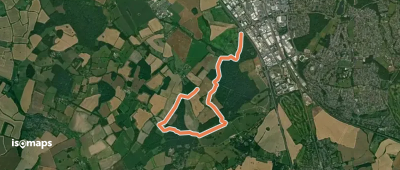
Polesden Lacey, Royaume-Uni
3,08 km +65 m 40min
Très facile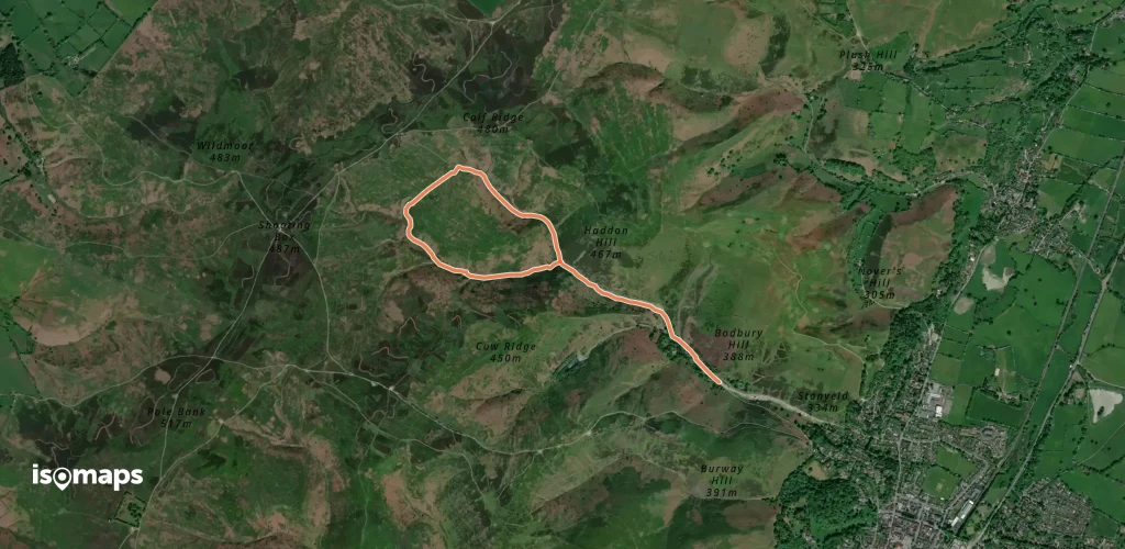
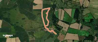
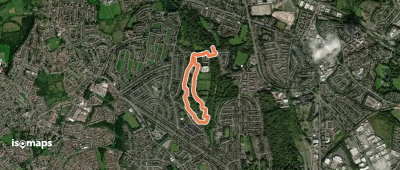
Church Stretton, Royaume-Uni
3,35 km +170 m 1h 10min
Très facile
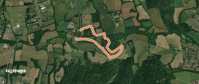
Friston, Royaume-Uni
6,40 km +246 m 1h 35min
Très facile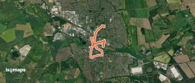


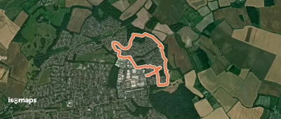
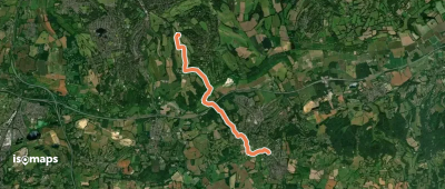
Tipton, Royaume-Uni
2,31 km +84 m 35min
Très facile
Essayez Isomaps gratuitement pendant 7 jours. Disponible sur iOS et Android.
