227 Touren in Belledonne. Finden Sie Ihre nächste Route auf Isomaps — Topokarten, GPS und Höhenprofil.
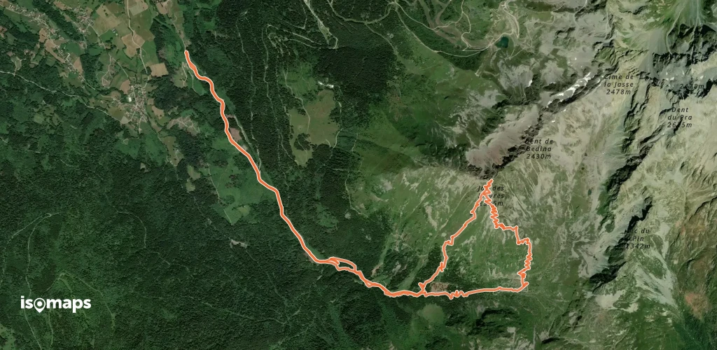

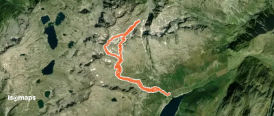
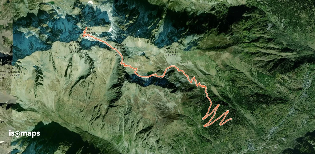
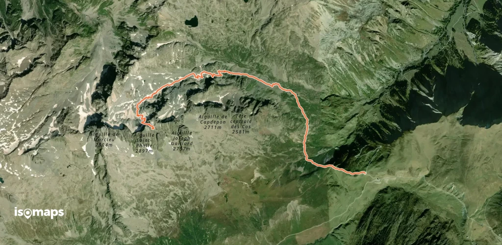
Aiguille de Marcieu, France
12,63 km +1 606 m 4h 35min
Einfach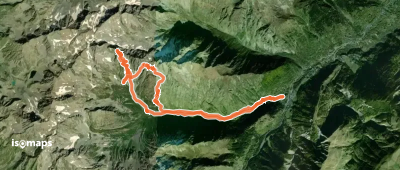

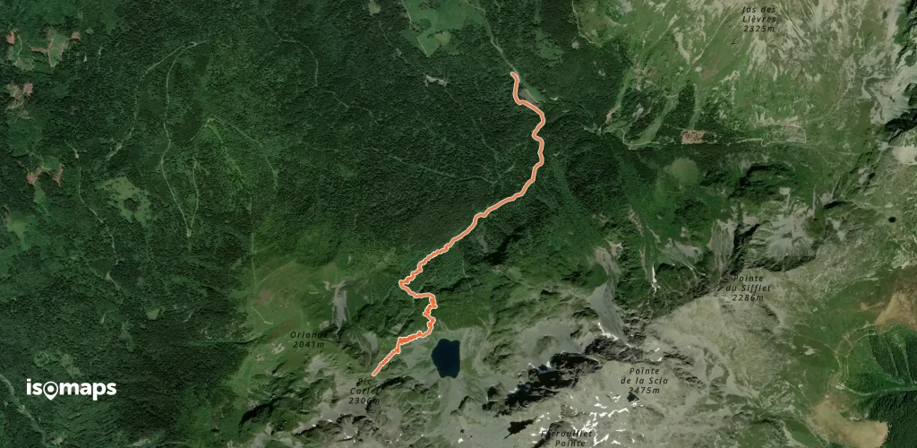
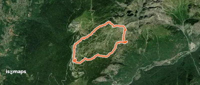
Sommet Colomb, France
9,78 km +1 372 m 3h 55min
Mittel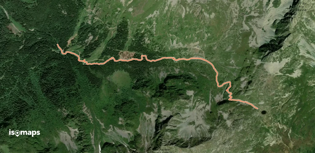

Saint-Colomban-des-Villards, France
8,01 km +1 351 m 3h 25min
Einfach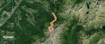
Col du Glandon, France
5,57 km +1 174 m 2h 40min
Mittel
Les Molettes, France
20,13 km +2 298 m 7h 5min
Schwer

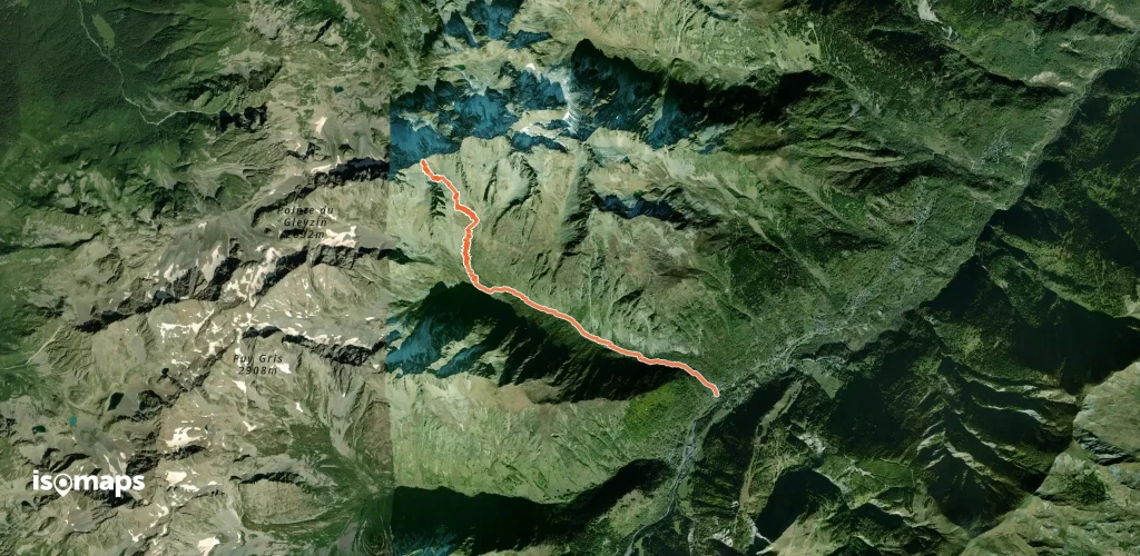
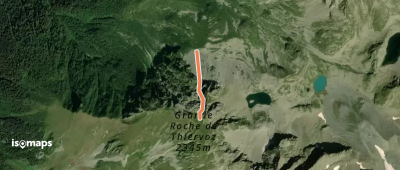
Pas de la Coche, France
6,27 km +917 m 2h 50min
Einfach
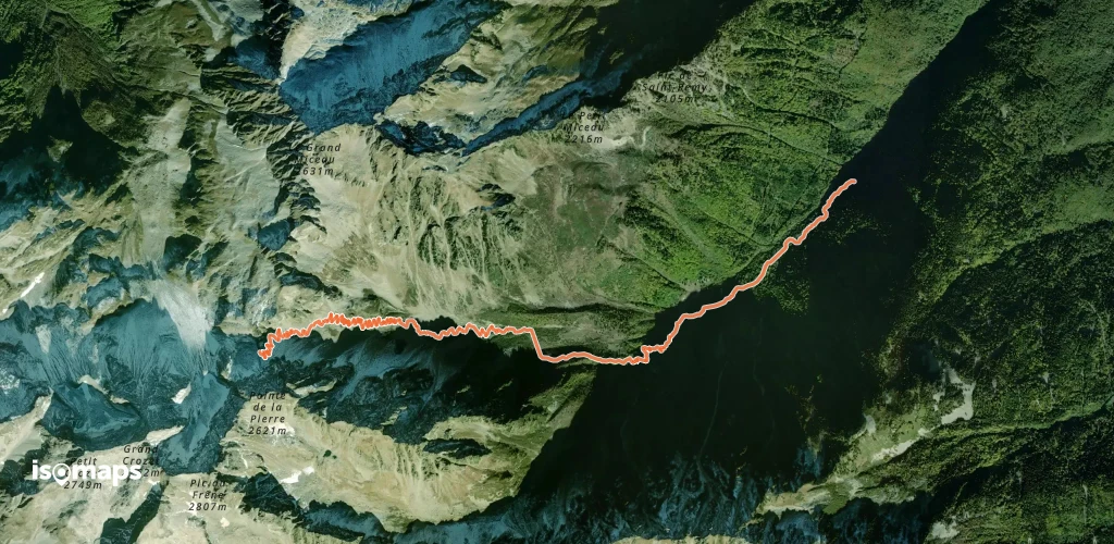
Fond de France, France
12,11 km +1 456 m 4h 20min
Schwer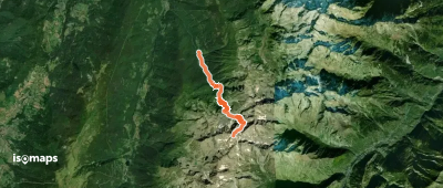
Testen Sie Isomaps 7 Tage kostenlos. Verfügbar für iOS und Android.
