Alpes du Nord

1,077 itinéraires dans Alpes du Nord. Trouvez votre prochain parcours sur Isomaps — cartes topo, GPS et profil altimétrique.
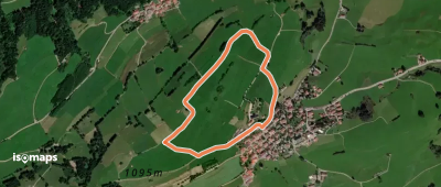
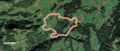
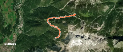
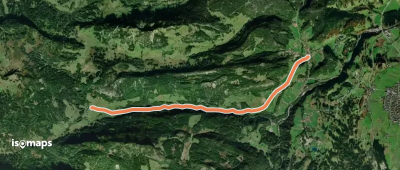
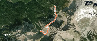
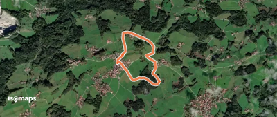
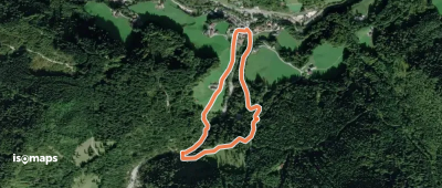
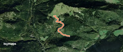
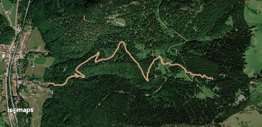
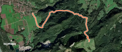
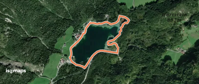
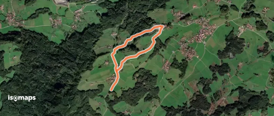
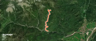
Wanderweg 1 (Soleleitungsweg)

Wachterlhorn, Allemagne

20,75 km +843 m 6h 50min

Difficile
Wanderweg 355
Wanderweg 355

Krün, Allemagne

4,58 km +363 m 1h 50min

Facile
Panoramaweg Grainau
Panoramaweg Grainau

Grainau, Allemagne

9,31 km +352 m 2h 40min

Facile
AV Weg 470
AV Weg 470

Großer Weitschartenkopf, Allemagne

24,45 km +1 869 m 11h 5min

Très difficile
Via Alpina Purple A53

Suttenalpe, Allemagne

14,92 km +1 424 m 6h 10min

Très difficile
Wanderweg 357
Wanderweg 357

Krün, Allemagne

3,11 km +835 m 2h 0min

Modéré
Naturerlebnispfad
Naturerlebnispfad

Brannenburg, Allemagne

2,52 km +52 m 30min

Très facile
16 - Piding
16 - Piding

Piding, Allemagne

2,22 km +95 m 45min

Très facile
Wanderweg 642 - Spitzingsee

Neuhaus, Allemagne

13,29 km +1 764 m 6h 30min

Très difficile
Via Alpina Purple A51

Kleiner Brünnberg, Allemagne

7,96 km +194 m 3h 5min

Facile
Klima & Wasser im Wandel

Grainau, Allemagne

6,08 km +166 m 1h 35min

Très facile
Wanderweg 351
Wanderweg 351

Schmalseehöhe, Allemagne

9,85 km +1 489 m 5h 30min

Très difficile
Reiteralm, rot markierte Pfadspur

Obere Schwegelalpe, Allemagne

2,12 km +295 m 50min

Très facile
Moorlehrpfad
Moorlehrpfad

Prem, Allemagne

10,46 km +150 m 2h 10min

Facile
Wanderweg 871 (rot)
Wanderweg 871 (rot)

Grünkopf, Allemagne

5,27 km +568 m 2h 30min

Modéré
Wanderweg 359
Wanderweg 359

Seinskopf, Allemagne

2,58 km +739 m 1h 40min

Modéré
Wanderweg 25 - Über die "Drei Linden"

Aschau im Chiemgau, Allemagne

5,46 km +117 m 1h 15min

Très facile
Via Alpina Purple A41

Schönau am Königssee, Allemagne

16,07 km +1 953 m 6h 5min

Très difficile
Wanderweg 350
Wanderweg 350

Schmalseehöhe, Allemagne

20,20 km +1 209 m 7h 40min

Très difficile
Felsenbach-Speik-Rundweg

Bayerisch Gmain, Allemagne

5,83 km +413 m 2h 20min

Facile

Prêt pour votre prochaine sortie ?

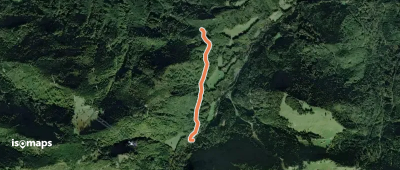
Essayez Iso Maps gratuitement pendant 7 jours. Disponible sur iOS et Android.

Télécharger sur iOS Télécharger sur Android APK (sans Google)