1,077 itinéraires dans Alpes du Nord. Trouvez votre prochain parcours sur Isomaps — cartes topo, GPS et profil altimétrique.
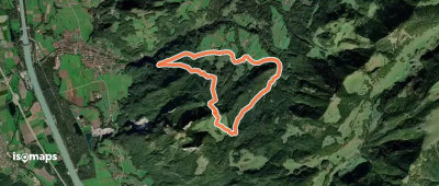
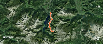
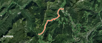
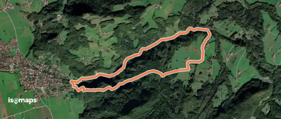
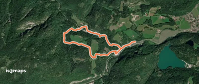
Immenstadt im Allgäu, Allemagne
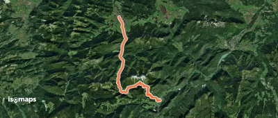
5,91 km +798 m 2h 25min
Modéré
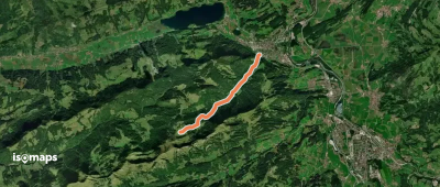
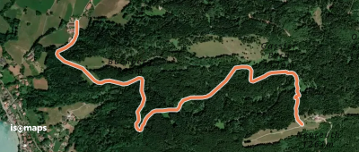
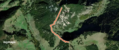
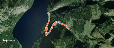
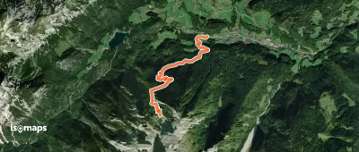
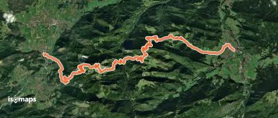
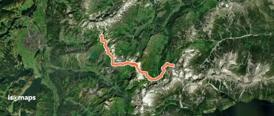
Schönau am Königssee, Allemagne
13,63 km +1 489 m 6h 10min
Très difficile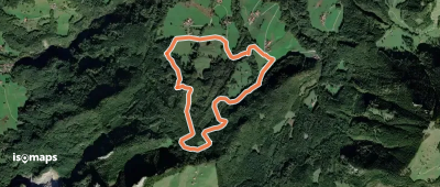

Essayez Isomaps gratuitement pendant 7 jours. Disponible sur iOS et Android.
