1,077 itinéraires dans Alpes du Nord. Trouvez votre prochain parcours sur Isomaps — cartes topo, GPS et profil altimétrique.
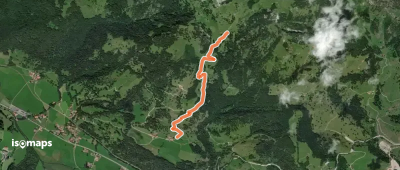
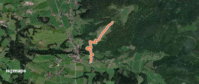
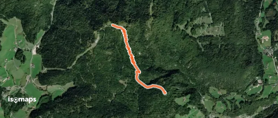
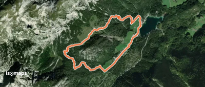
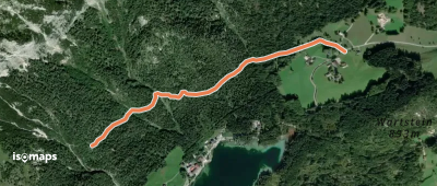
Brunnfeld, Allemagne
6,32 km +362 m 1h 50min
Facile
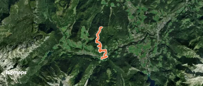
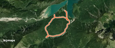
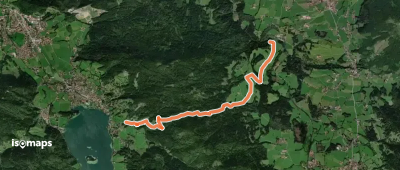
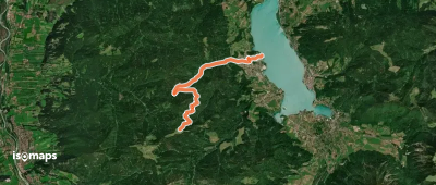
Oberaudorf, Allemagne
4,47 km +132 m 1h 25min
Très facile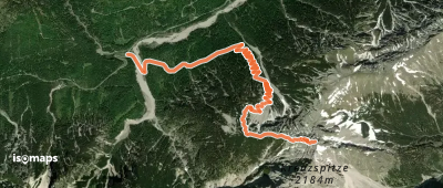

Essayez Isomaps gratuitement pendant 7 jours. Disponible sur iOS et Android.
