1,077 itinéraires dans Alpes du Nord. Trouvez votre prochain parcours sur Isomaps — cartes topo, GPS et profil altimétrique.
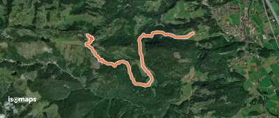
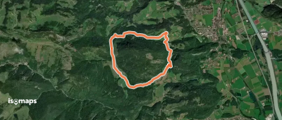
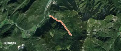
Oberaudorf, Allemagne
8,65 km +1 039 m 3h 25min
Difficile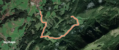
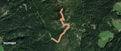
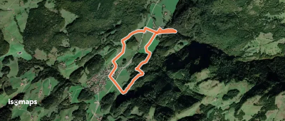
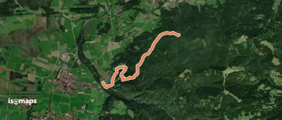
Großer Brünnberg, Allemagne
7,82 km +382 m 2h 30min
Facile

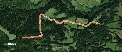
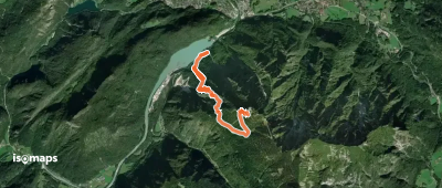

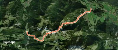
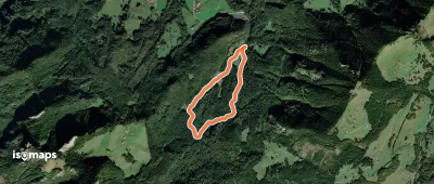
Aschau im Chiemgau, Allemagne
7,73 km +348 m 2h 20min
Facile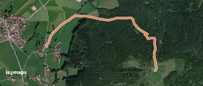
Essayez Isomaps gratuitement pendant 7 jours. Disponible sur iOS et Android.
