1,077 itinéraires dans Alpes du Nord. Trouvez votre prochain parcours sur Isomaps — cartes topo, GPS et profil altimétrique.

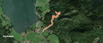
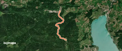
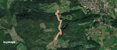
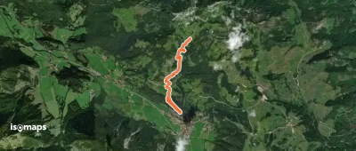
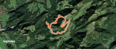
Fischhausen, Allemagne
1,07 km +211 m 35min
Très facile
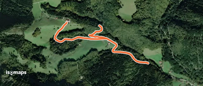

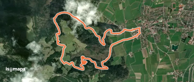
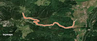
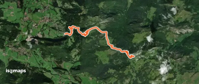
Bayrischzell, Allemagne
3,46 km +612 m 3h 45min
Modéré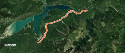
Essayez Isomaps gratuitement pendant 7 jours. Disponible sur iOS et Android.
