4,193 itinéraires dans Bayern. Trouvez votre prochain parcours sur Isomaps — cartes topo, GPS et profil altimétrique.
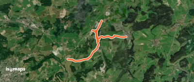

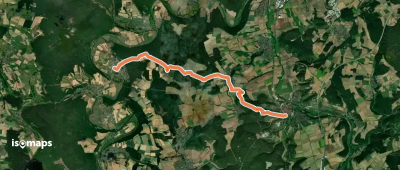
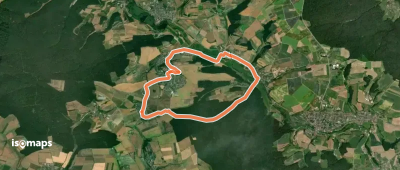
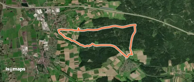
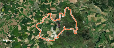
Wettelsheim, Allemagne
17,53 km +343 m 3h 55min
Modéré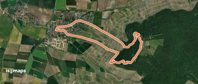
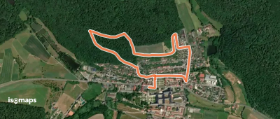
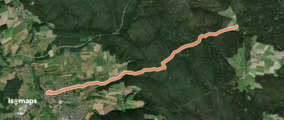
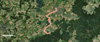
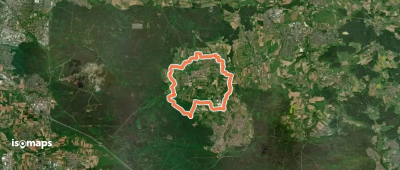
Schwarzenbach an der Saale, Allemagne
9,20 km +198 m 2h 0min
Facile
Essayez Isomaps gratuitement pendant 7 jours. Disponible sur iOS et Android.
