Bayern

4,193 itinéraires dans Bayern. Trouvez votre prochain parcours sur Isomaps — cartes topo, GPS et profil altimétrique.
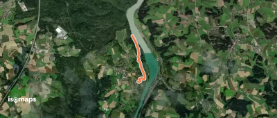
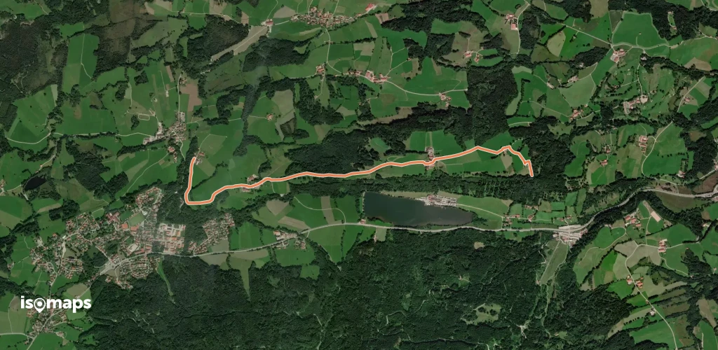
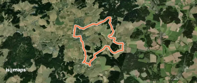
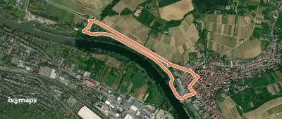
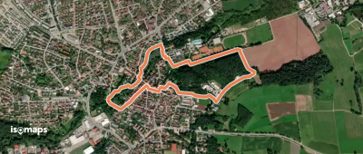
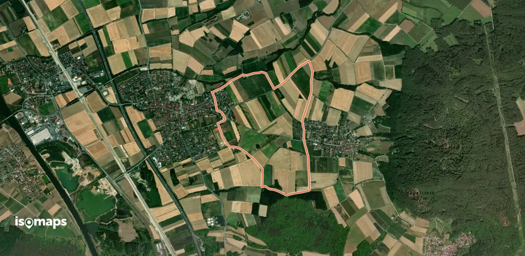
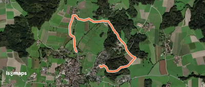
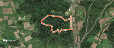
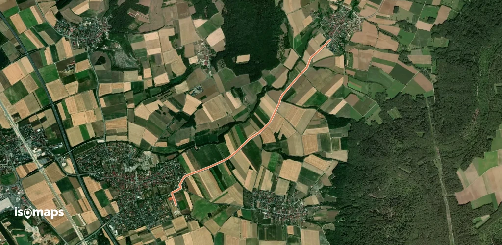
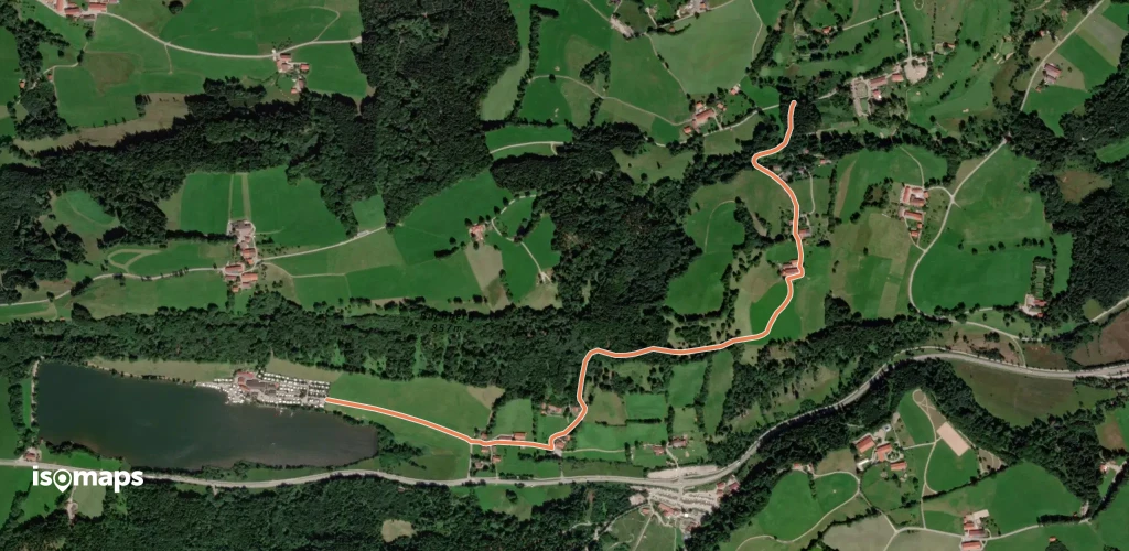
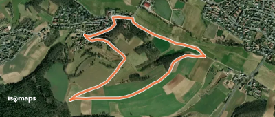
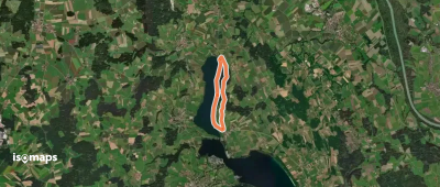
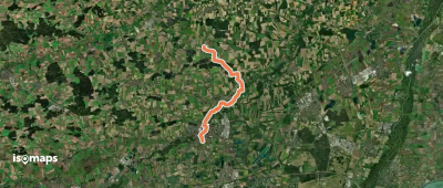
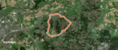
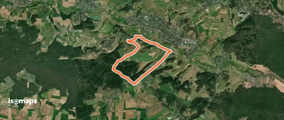
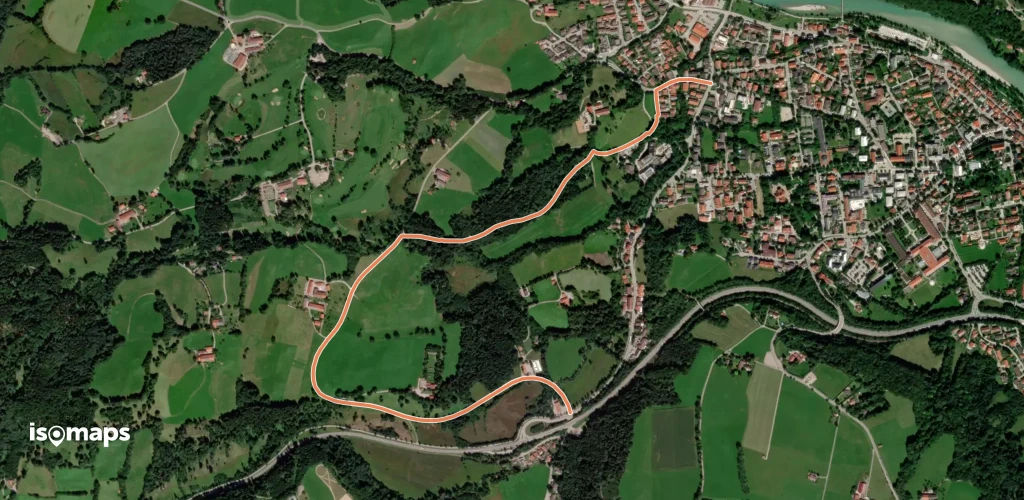
Verbindungsweg Warmensteinach-Ochsenkopf

Ochsenkopf, Allemagne

5,41 km +51 m 1h 25min

Très facile
Trail 6
Trail 6

Holzheim, Allemagne

11,71 km +209 m 2h 25min

Facile
Stollwerck'sches Mausoleum

Feldkirchen-Westerham, Allemagne

5,54 km +85 m 1h 15min

Très facile
Arzberg-Hohe Warte
Arzberg-Hohe Warte

Arzberg, Allemagne

5,29 km +177 m 1h 15min

Très facile
Fränkischer Marienweg Route 2

Bürgstadt, Allemagne

200,77 km +5 506 m 46h 15min

Très difficile
Dr.-Richard-Sauber-Weg

Nuremberg, Allemagne

7,70 km +124 m 1h 40min

Très facile
Reh-Wanderweg Stettfeld

Stettfeld, Allemagne

5,90 km +129 m 1h 15min

Très facile
Goldsteig Zuweg Nr.9C Katharinenthal

Neudeck, Allemagne

12,37 km +284 m 2h 40min

Facile
Eichenhainweg
Eichenhainweg

Kattenhochstatt, Allemagne

5,08 km +114 m 1h 5min

Très facile
Zeegenbachtal Runde
Zeegenbachtal Runde

Amlingstadt, Allemagne

15,42 km +388 m 3h 30min

Modéré
Tour 2 (Nordic Walcing)

Rothenstein, Allemagne

5,56 km +208 m 1h 15min

Très facile
Wallenstein-Tilly-Weg

Tillyschanz, Allemagne

86,46 km +1 805 m 19h 0min

Très difficile
Verbindungsweg Kemnath - Girgelhöhle

Kemnath, Allemagne

22,14 km +745 m 5h 10min

Difficile
Trail 5
Trail 5

Holzheim, Allemagne

6,10 km +100 m 1h 15min

Très facile
RehbockweiherTrail
RehbockweiherTrail

Uttenreuth, Allemagne

4,27 km +36 m 50min

Très facile
Geschichtspfad Untermerzbach

Untermerzbach, Allemagne

27,93 km +837 m 6h 25min

Difficile
Kulturerlebnis Fränkische Schweiz - Pretzfeld - Forchheim

Forchheim, Allemagne

19,40 km +450 m 4h 30min

Modéré
Römerweg Weißenburg
Römerweg Weißenburg

Weißenburg in Bayern, Allemagne

22,66 km +521 m 5h 0min

Difficile
Gottesgartenrundweg Nord

Michelau, Allemagne

45,94 km +1 084 m 10h 10min

Très difficile
Wanderweg Buchenbühl – Erlangen

Heroldsberg, Allemagne

15,37 km +97 m 3h 5min

Modéré

Prêt pour votre prochaine sortie ?

Essayez Iso Maps gratuitement pendant 7 jours. Disponible sur iOS et Android.

Télécharger sur iOS Télécharger sur Android APK (sans Google)