1,373 itinéraires dans Odenwald. Trouvez votre prochain parcours sur Isomaps — cartes topo, GPS et profil altimétrique.
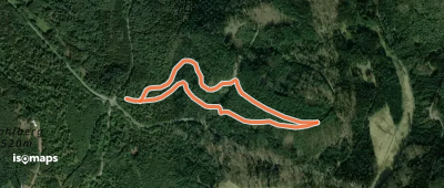
Ober-Hiltersklingen, Allemagne
2,51 km +80 m 40min
Très facile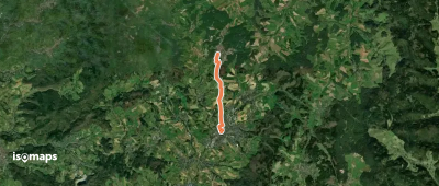
Heidelberg, Allemagne
3,33 km +141 m 1h 5min
Très facile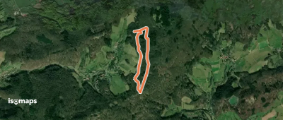
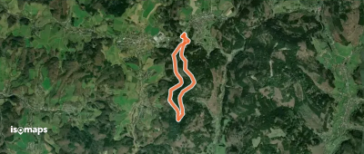
Eselsberg, Allemagne
2,61 km +109 m 40min
Très facile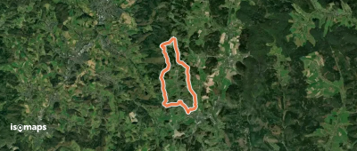
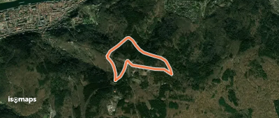
Tromm, Allemagne
11,28 km +386 m 2h 50min
Facile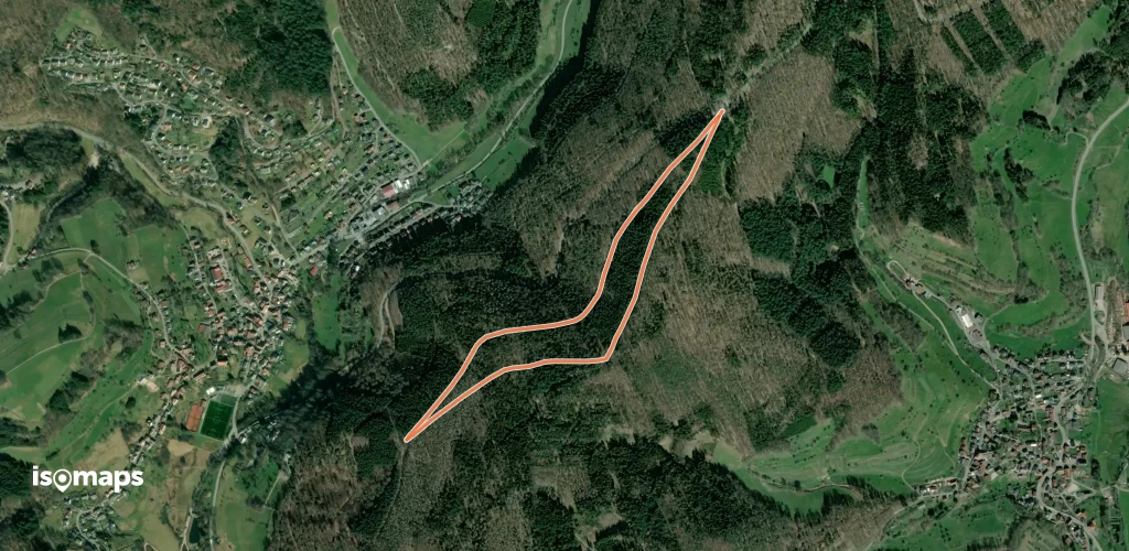
Heiligkreuzsteinach, Allemagne
2,74 km +77 m 40min
Très facile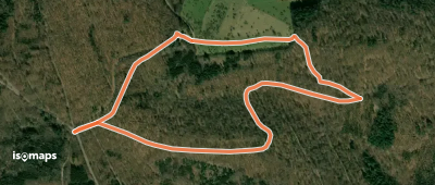
Gaiberg, Allemagne
4,17 km +146 m 1h 10min
Très facile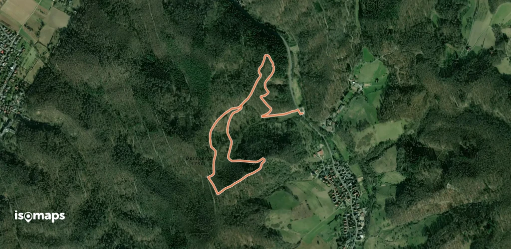
Alsbach, Allemagne
2,83 km +236 m 1h 30min
Très facile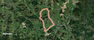
Wald-Michelbach, Allemagne
6,42 km +212 m 1h 40min
Très facile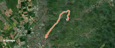
Heiligkreuzsteinach, Allemagne
4,53 km +129 m 1h 10min
Très facile
Heiligkreuzsteinach, Allemagne
2,80 km +74 m 40min
Très facile
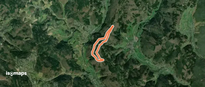
Brensbach, Allemagne
2,81 km +125 m 50min
Très facile
Heubach, Allemagne
3,46 km +151 m 55min
Très facile
Neckarsteinach, Allemagne
4,84 km +161 m 1h 25min
Très facile
Fränkisch-Crumbach, Allemagne
3,27 km +114 m 45min
Très facile
Essayez Isomaps gratuitement pendant 7 jours. Disponible sur iOS et Android.
