1,373 itinéraires dans Odenwald. Trouvez votre prochain parcours sur Isomaps — cartes topo, GPS et profil altimétrique.
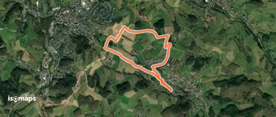
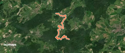
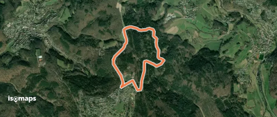
Niedernhausen, Allemagne
4,98 km +168 m 1h 15min
Très facile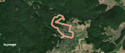

Fürth, Allemagne
37,28 km +1 462 m 9h 45min
Très difficile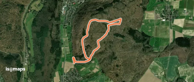
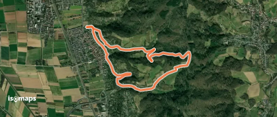
Hemsbach, Allemagne
5,95 km +351 m 2h 0min
Facile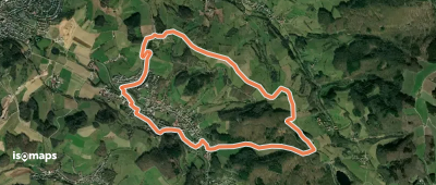
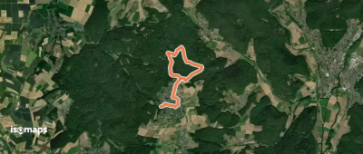
Steinkopf, Allemagne
2,10 km +148 m 50min
Très facile
Wilhelmsfeld, Allemagne
3,34 km +103 m 50min
Très facile
Wilhelmsfeld, Allemagne
3,79 km +132 m 1h 0min
Très facile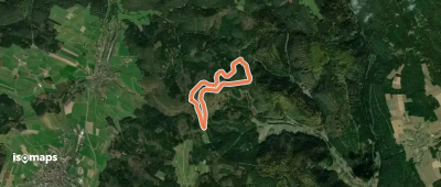
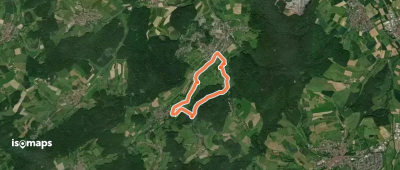
Krähberg, Allemagne
5,19 km +175 m 1h 15min
Très facile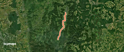
Rothenberg, Allemagne
23,57 km +572 m 5h 25min
Difficile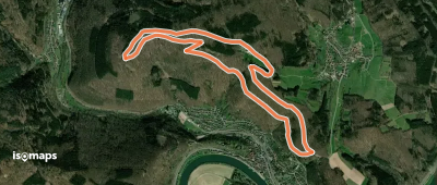
Hoher Darsberg, Allemagne
6,87 km +263 m 2h 0min
Facile
Wilhelmsfeld, Allemagne
2,62 km +80 m 35min
Très facile
Laudenbach, Allemagne
2,61 km +86 m 40min
Très facile
Essayez Isomaps gratuitement pendant 7 jours. Disponible sur iOS et Android.
