2,368 itinéraires dans Rheinland-Pfalz. Trouvez votre prochain parcours sur Isomaps — cartes topo, GPS et profil altimétrique.

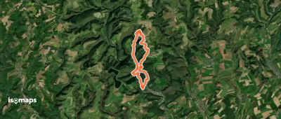
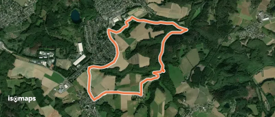
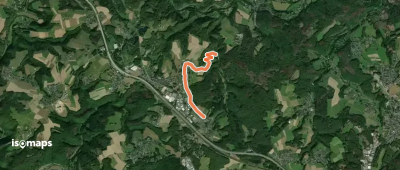
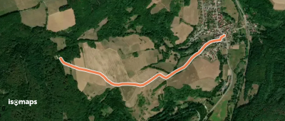
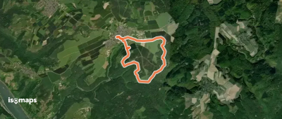
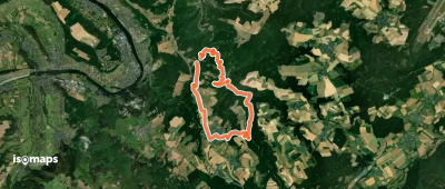
Rutsweiler an der Lauter, Allemagne
1,67 km +181 m 30min
Très facile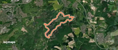
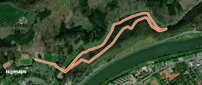
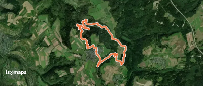
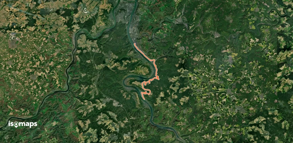
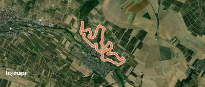
Nomborn, Allemagne
8,29 km +337 m 2h 50min
Facile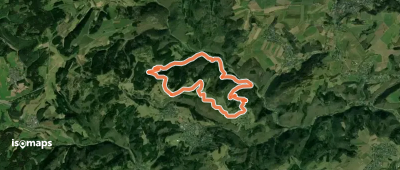
Essayez Isomaps gratuitement pendant 7 jours. Disponible sur iOS et Android.
