2,368 itinéraires dans Rheinland-Pfalz. Trouvez votre prochain parcours sur Isomaps — cartes topo, GPS et profil altimétrique.
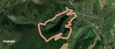
![[14] Heckenbach Rundwanderweg](https://static-tiles.b-cdn.net/screenshots/screenshot_trace_130408.webp)
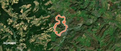
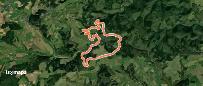
![Landfrauenweg [Bitzen]](https://static-tiles.b-cdn.net/screenshots/screenshot_trace_6317.webp)

Waldfischbach-Burgalben, Allemagne
3,18 km +164 m 45min
Très facile
Essayez Isomaps gratuitement pendant 7 jours. Disponible sur iOS et Android.
