2,368 itinéraires dans Rheinland-Pfalz. Trouvez votre prochain parcours sur Isomaps — cartes topo, GPS et profil altimétrique.
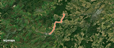
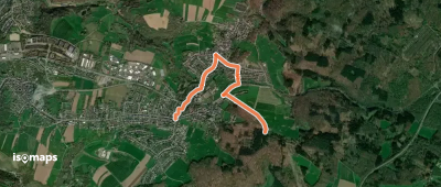
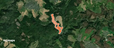
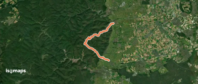
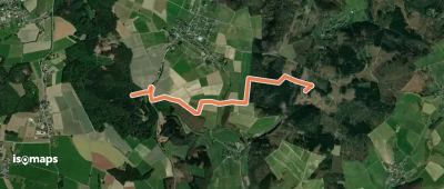
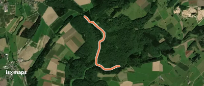
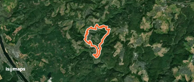
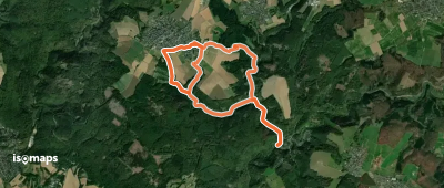
Sponheim, Allemagne
11,92 km +307 m 2h 45min
Facile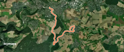

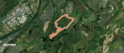
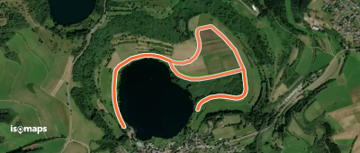
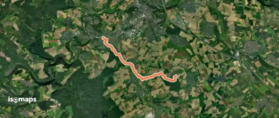
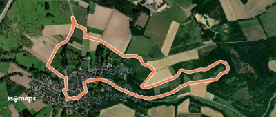
Bad Kreuznach, Allemagne
3,80 km +54 m 50min
Très facile
Essayez Isomaps gratuitement pendant 7 jours. Disponible sur iOS et Android.
