1,816 itinéraires dans Wallonie. Trouvez votre prochain parcours sur Isomaps — cartes topo, GPS et profil altimétrique.

Hantes-Wihéries, België / Belgique / Belgien
5,76 km +85 m 1h 15min
Très facile


Bertrix, België / Belgique / Belgien
2,90 km +39 m 35min
Très facile

Hantes-Wihéries, België / Belgique / Belgien
25,65 km +575 m 5h 45min
Difficile


Lavacherie, België / Belgique / Belgien
6,12 km +103 m 1h 15min
Très facile


Robertville, België / Belgique / Belgien
6,11 km +90 m 1h 25min
Très facile
Sebourg, België / Belgique / Belgien
53,93 km +796 m 22h 55min
Très difficile
Hellebecq, België / Belgique / Belgien
6,23 km +104 m 1h 20min
Très facile

Saint-Hubert Air Base, België / Belgique / Belgien
9,30 km +195 m 1h 55min
Facile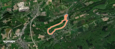


Essayez Isomaps gratuitement pendant 7 jours. Disponible sur iOS et Android.