1,816 itinéraires dans Wallonie. Trouvez votre prochain parcours sur Isomaps — cartes topo, GPS et profil altimétrique.
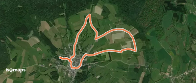
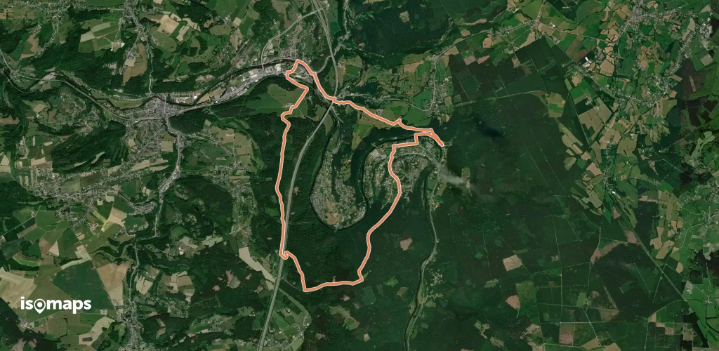
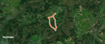
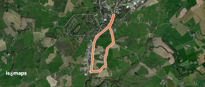
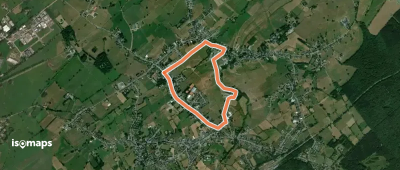
Rossignol, België / Belgique / Belgien
5,83 km +84 m 1h 15min
Très facile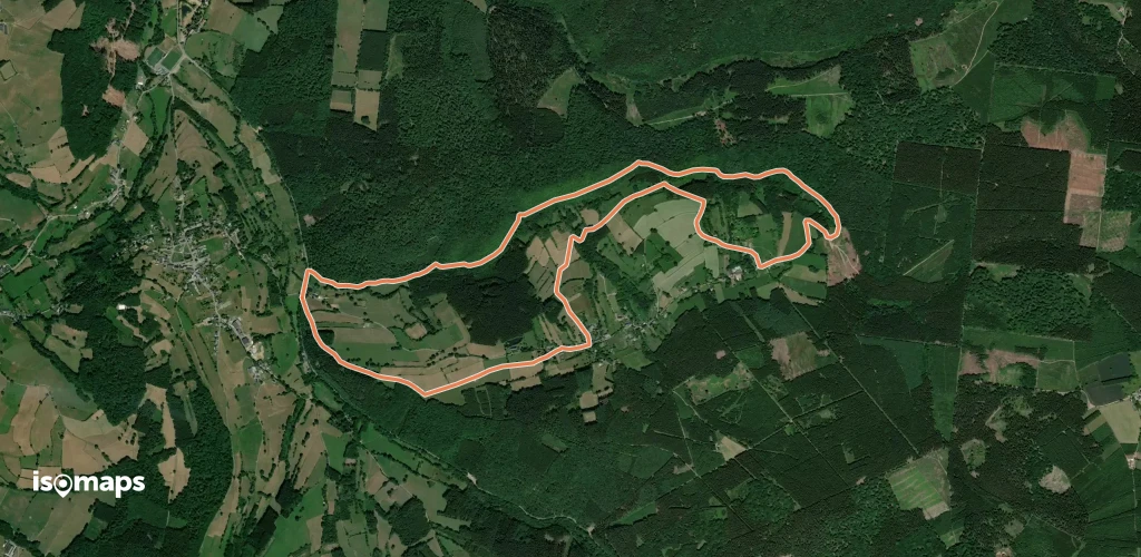
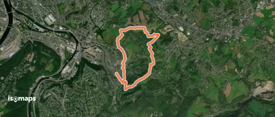
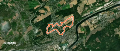
Vaux-sous-Chèvremont, België / Belgique / Belgien
7,47 km +292 m 2h 5min
Facile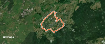
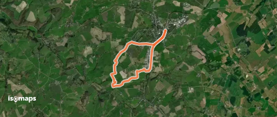
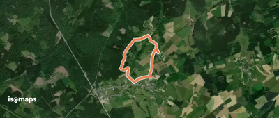
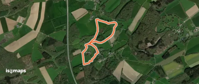
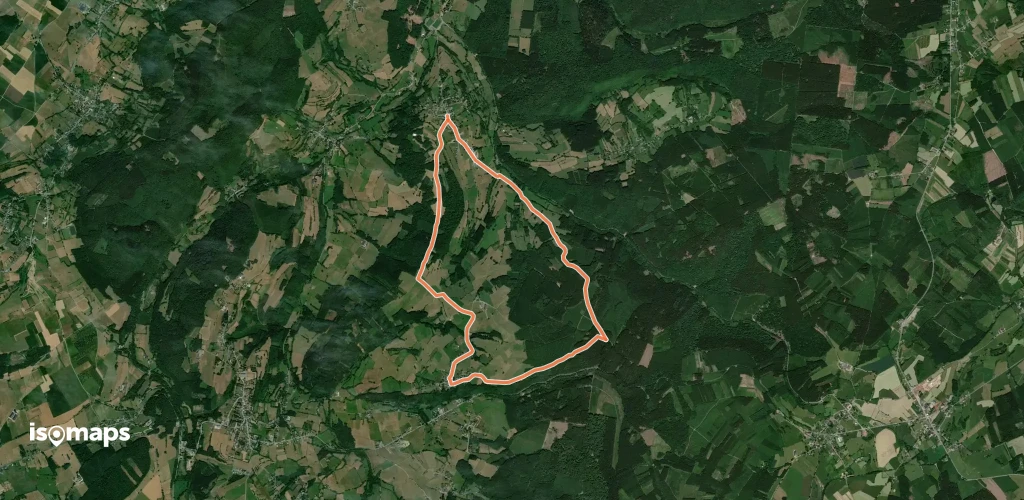
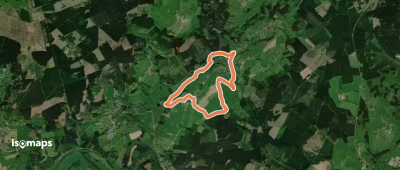
Champlon, België / Belgique / Belgien
5,01 km +104 m 1h 5min
Très facile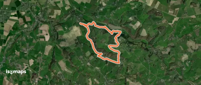
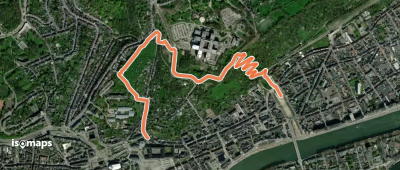
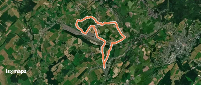
Mortroux, België / Belgique / Belgien
8,09 km +266 m 2h 10min
Facile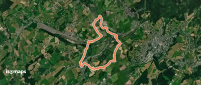

Erneuville, België / Belgique / Belgien
8,24 km +145 m 1h 45min
Facile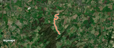
Roanne, België / Belgique / Belgien
6,52 km +187 m 1h 30min
Très facileEssayez Isomaps gratuitement pendant 7 jours. Disponible sur iOS et Android.
