3,514 itinéraires dans England. Trouvez votre prochain parcours sur Isomaps — cartes topo, GPS et profil altimétrique.
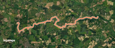

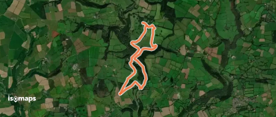
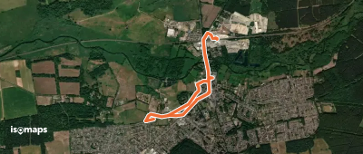
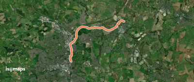
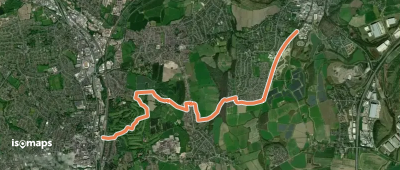
Arlington, Royaume-Uni
7,82 km +261 m 2h 0min
Facile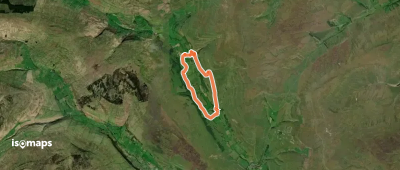
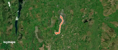
Buckden, Royaume-Uni
7,99 km +261 m 2h 0min
Très facile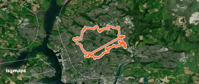
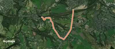
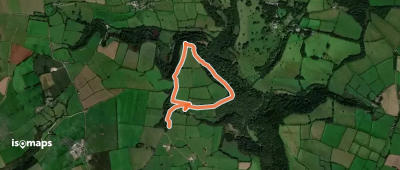
Charlesworth, Royaume-Uni
2,82 km +105 m 45min
Très facile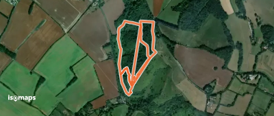
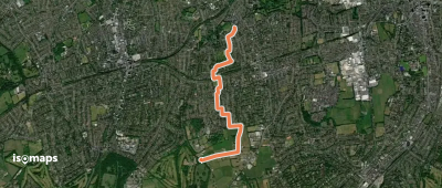
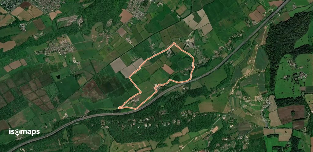
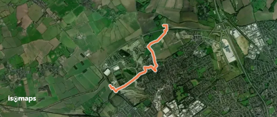
Staveley, Royaume-Uni
8,74 km +71 m 1h 50min
Facile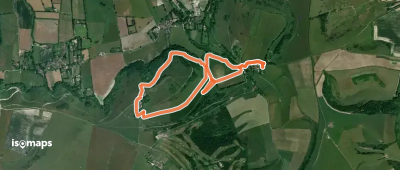
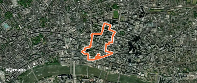
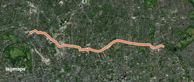
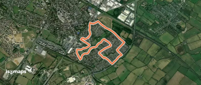
Staveley, Royaume-Uni
7,65 km +163 m 1h 40min
Très facile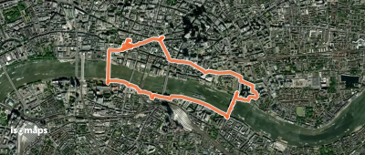
Essayez Isomaps gratuitement pendant 7 jours. Disponible sur iOS et Android.
