3,514 itinéraires dans England. Trouvez votre prochain parcours sur Isomaps — cartes topo, GPS et profil altimétrique.
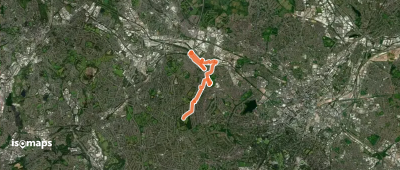
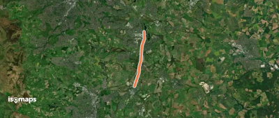
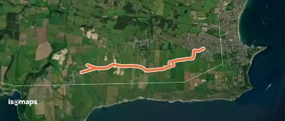
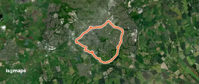
Dunstable, Royaume-Uni
10,27 km +233 m 2h 20min
Facile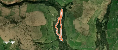
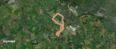
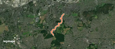
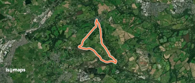
Beighton, Royaume-Uni
7,36 km +68 m 1h 30min
Très facile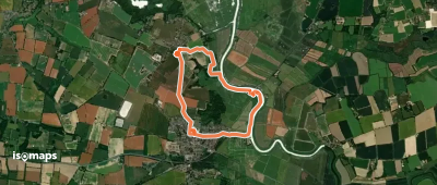
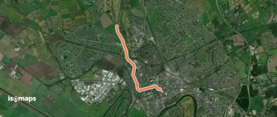
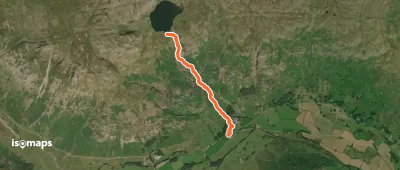
Langley End, Royaume-Uni
3,50 km +34 m 40min
Très facile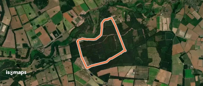
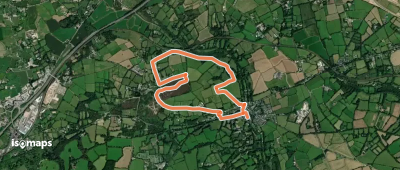
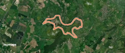
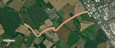
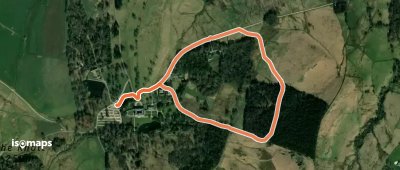
Chacewater, Royaume-Uni
4,51 km +112 m 1h 5min
Très facile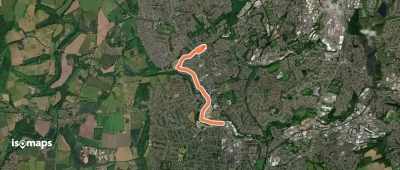
Chacewater, Royaume-Uni
6,42 km +157 m 1h 30min
Très facile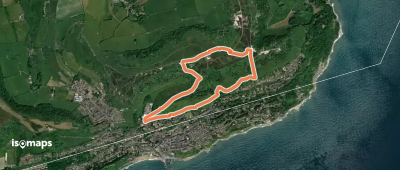
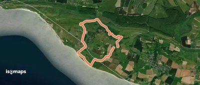
Ventnor, Royaume-Uni
4,09 km +209 m 1h 20min
Très facile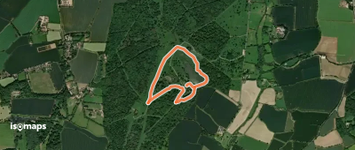
Essayez Isomaps gratuitement pendant 7 jours. Disponible sur iOS et Android.
