3,514 itinéraires dans England. Trouvez votre prochain parcours sur Isomaps — cartes topo, GPS et profil altimétrique.
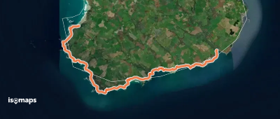
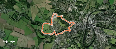
Sennen, Royaume-Uni
19,18 km +1 060 m 7h 5min
Difficile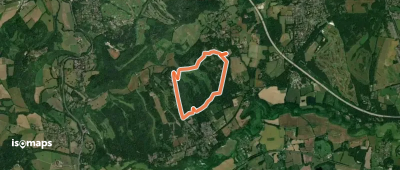
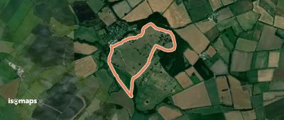
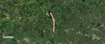
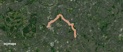
Headley, Royaume-Uni
5,07 km +126 m 1h 10min
Très facile

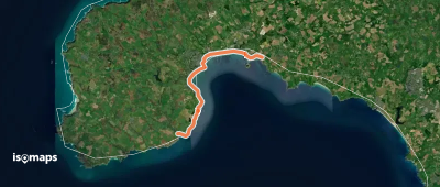
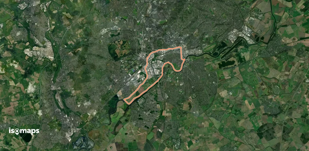
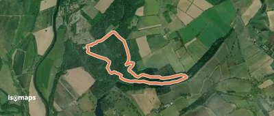
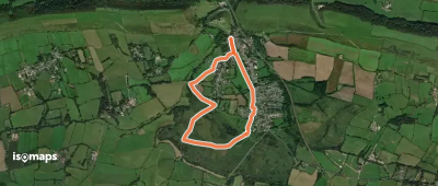
Marazion, Royaume-Uni
15,62 km +340 m 4h 0min
Modéré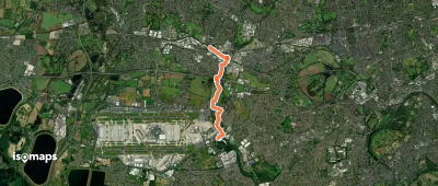

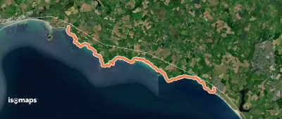
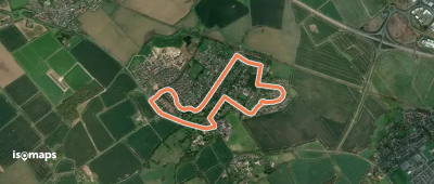
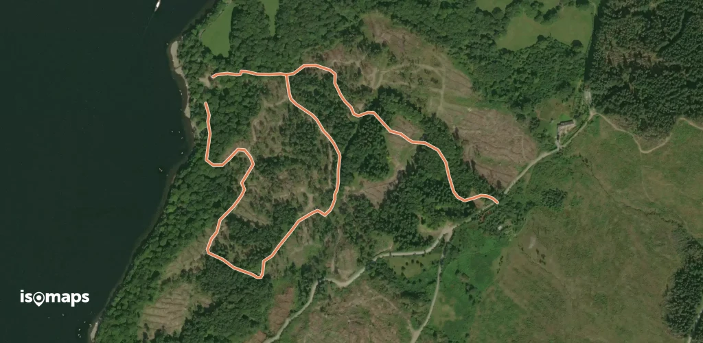
Porthleven, Royaume-Uni
16,15 km +874 m 6h 5min
Difficile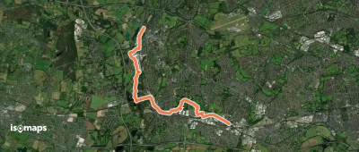


Essayez Isomaps gratuitement pendant 7 jours. Disponible sur iOS et Android.
