3,514 itinéraires dans England. Trouvez votre prochain parcours sur Isomaps — cartes topo, GPS et profil altimétrique.

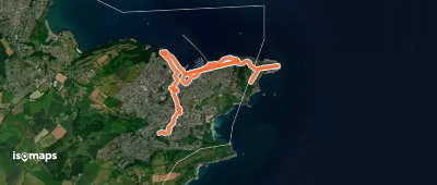
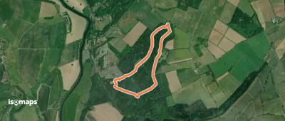
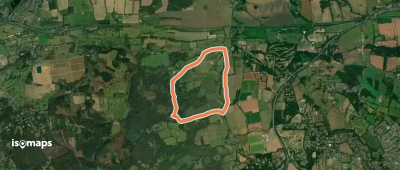
Hampers Green, Royaume-Uni
5,66 km +144 m 1h 15min
Très facile


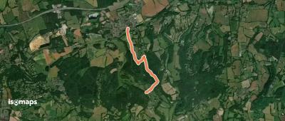

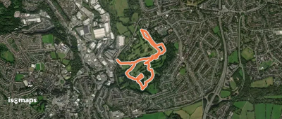
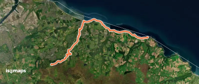
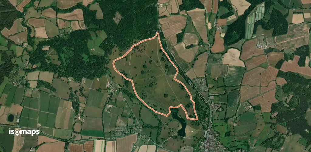
Halesowen, Royaume-Uni
3,78 km +137 m 1h 0min
Très facile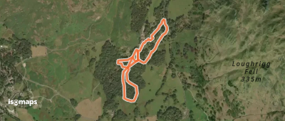
Essayez Isomaps gratuitement pendant 7 jours. Disponible sur iOS et Android.
