3,514 itinéraires dans England. Trouvez votre prochain parcours sur Isomaps — cartes topo, GPS et profil altimétrique.

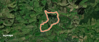
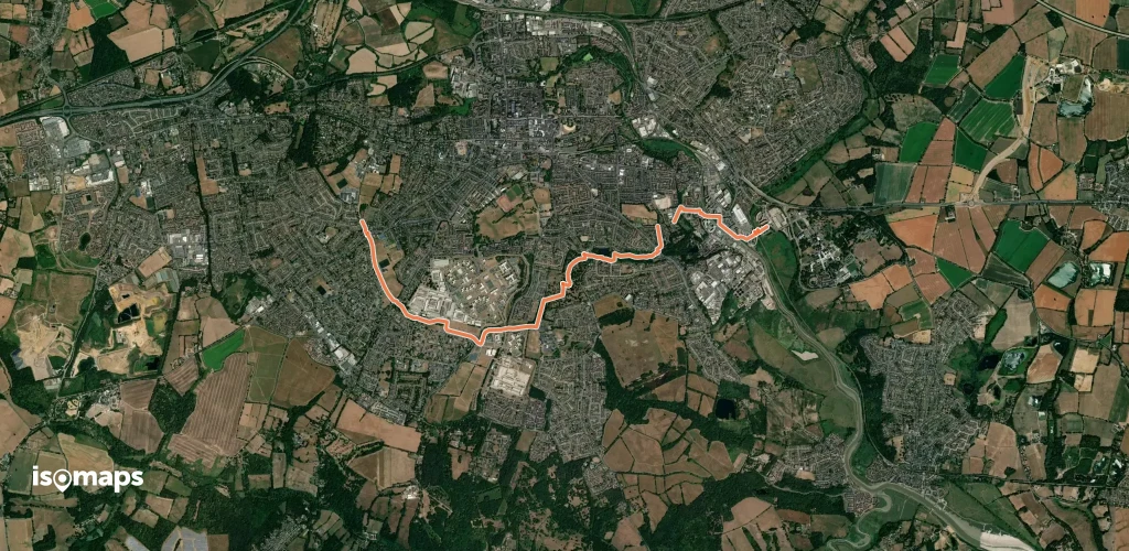

Stourbridge, Royaume-Uni
11,17 km +147 m 2h 20min
Facile


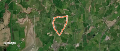
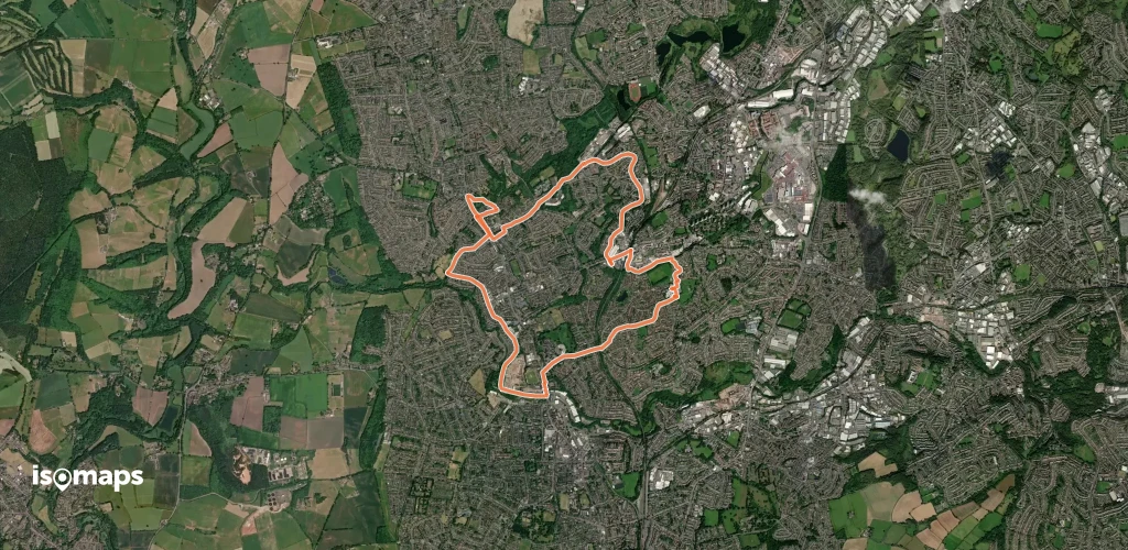
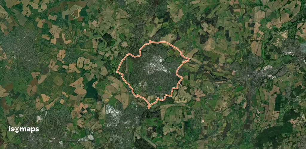
Coverack, Royaume-Uni
16,92 km +972 m 5h 35min
Difficile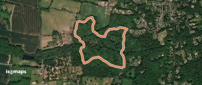
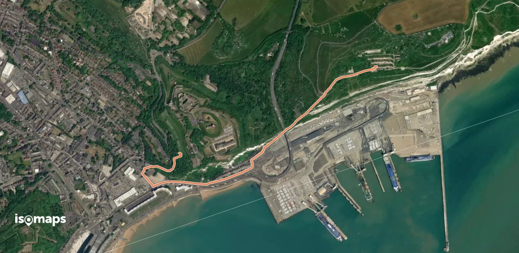
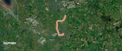
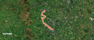
Dover, Royaume-Uni
2,08 km +94 m 45min
Très facile
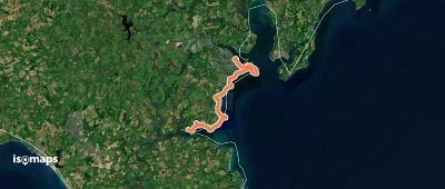
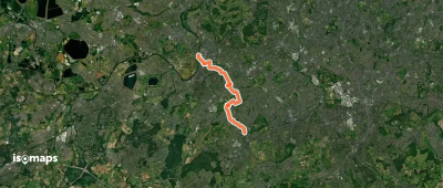
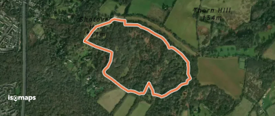
Falmouth, Royaume-Uni
16,28 km +595 m 5h 20min
DifficileEssayez Isomaps gratuitement pendant 7 jours. Disponible sur iOS et Android.
