272 itinéraires dans Belledonne. Trouvez votre prochain parcours sur Isomaps — cartes topo, GPS et profil altimétrique.
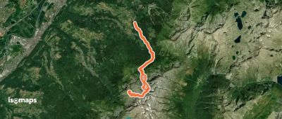
Les Sept Laux le Pleynet, France
12,74 km +1 775 m 4h 5min
Modéré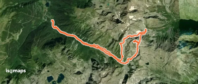
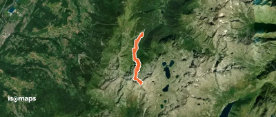
Bec d'Arguille, France
17,17 km +2 264 m 6h 20min
Modéré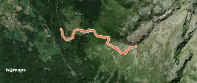


La Boutière, France
5,86 km +1 463 m 2h 40min
Difficile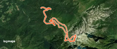
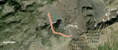
Grand Sorbier, France
412 m +264 m 5min
Difficile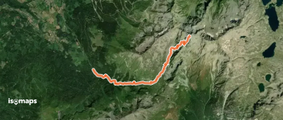
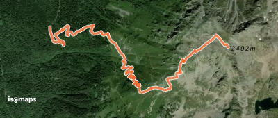
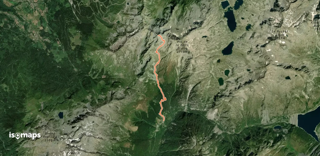
Pas de la Coche, France
5,34 km +138 m 35min
Modéré
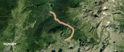
Fond de France, France
4,10 km +1 299 m 2h 25min
Très difficile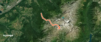
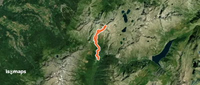
Pas de la Coche, France
12,42 km +1 738 m 4h 35min
Modéré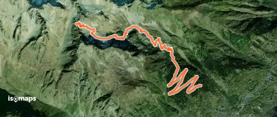
Saint-Colomban-des-Villards, France
6,58 km +1 119 m 2h 50min
Facile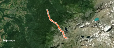
Grande Montagne d'Arvillard, France
10,12 km +889 m 2h 50min
Très facile
Essayez Isomaps gratuitement pendant 7 jours. Disponible sur iOS et Android.


