227 itinéraires dans Belledonne. Trouvez votre prochain parcours sur Isomaps — cartes topo, GPS et profil altimétrique.
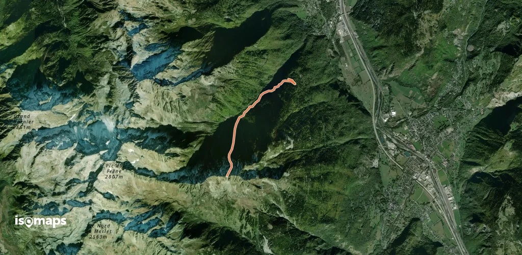

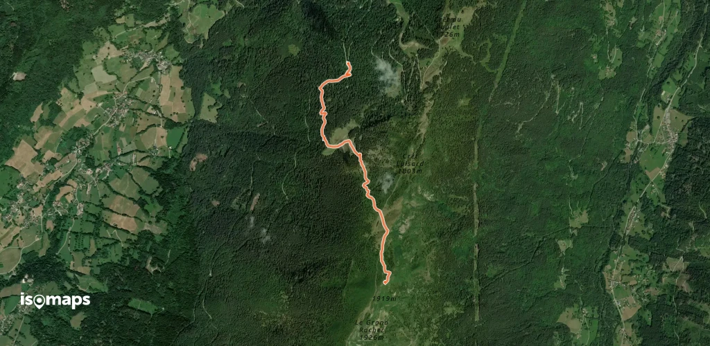
Montagne du Pleynet, France
11,95 km +1 330 m 4h 0min
Modéré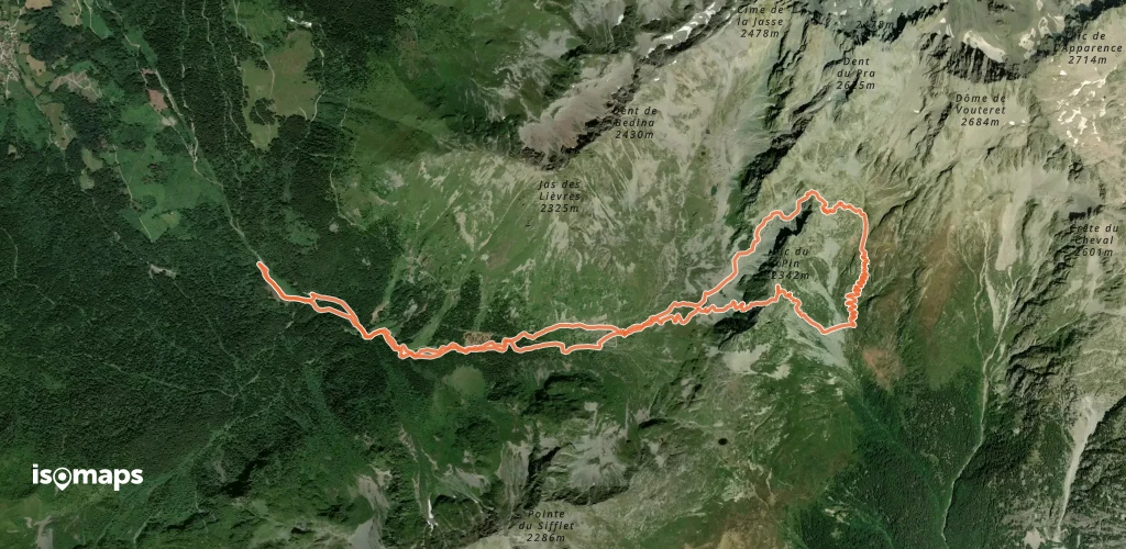
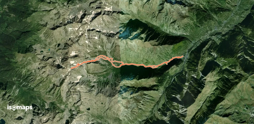
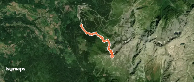
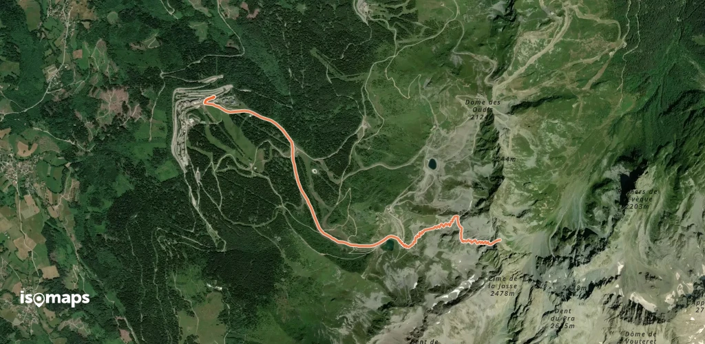
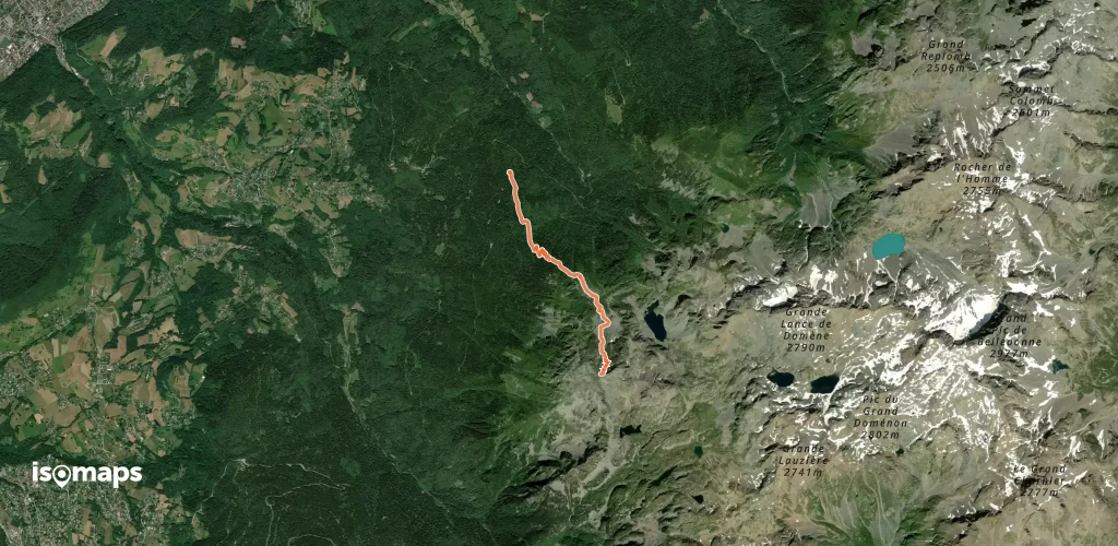
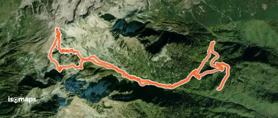
Refuge de la Pra, France
15,24 km +1 362 m 4h 20min
Facile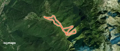
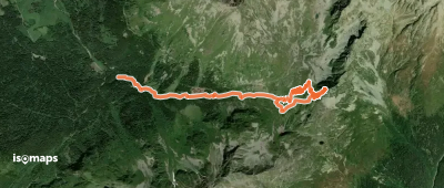
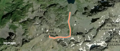
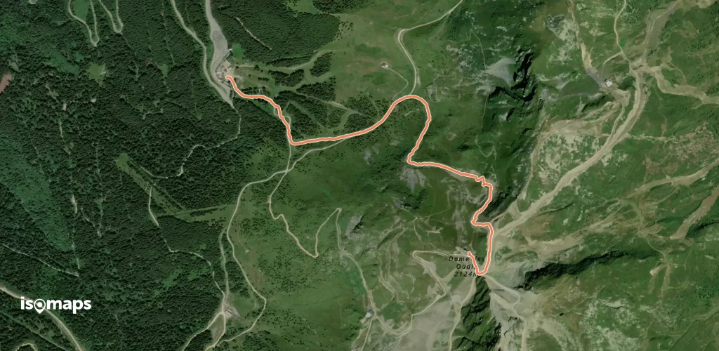
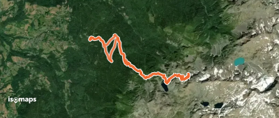
Super Collet, France
9,07 km +1 188 m 3h 30min
Facile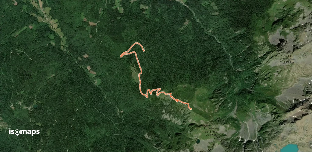
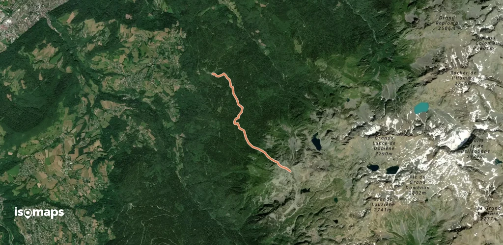
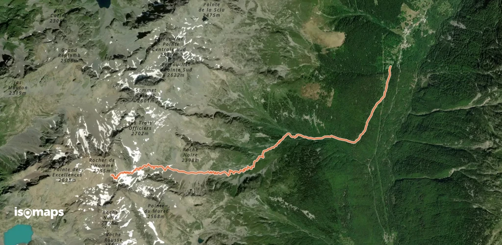
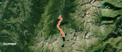
Les Grands Moulins, France
13,20 km +1 488 m 4h 15min
Modéré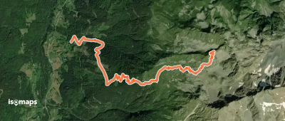
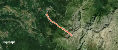
La Ferrière, France
5,62 km +1 235 m 3h 15min
FacileEssayez Isomaps gratuitement pendant 7 jours. Disponible sur iOS et Android.
