272 itinéraires dans Belledonne. Trouvez votre prochain parcours sur Isomaps — cartes topo, GPS et profil altimétrique.
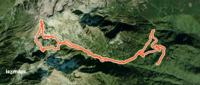
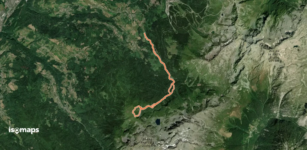
Les Grands Moulins, France
13,20 km +1 488 m 4h 15min
Modéré
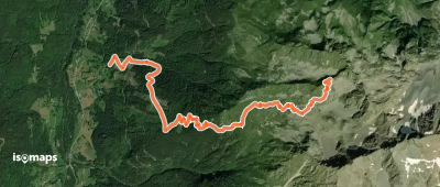
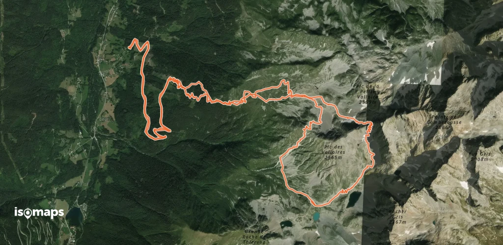
La Ferrière, France
5,62 km +1 235 m 3h 15min
Facile

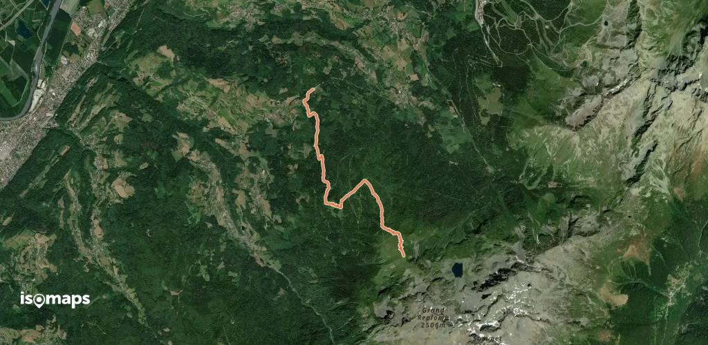


Pointe de l'Aup du Pont, France
451 m +400 m 5min
Très difficile
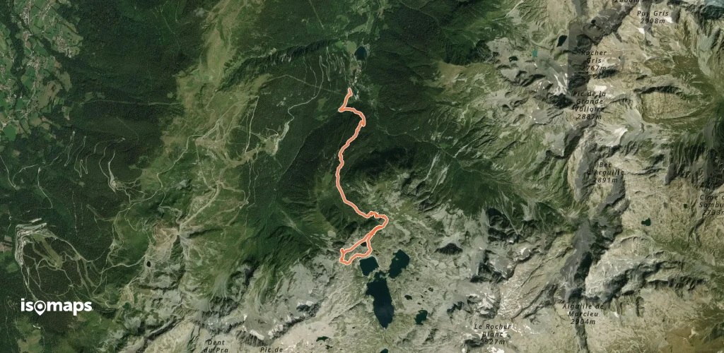

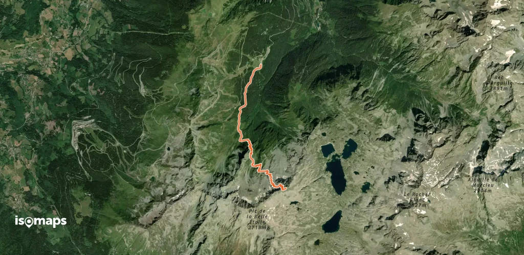
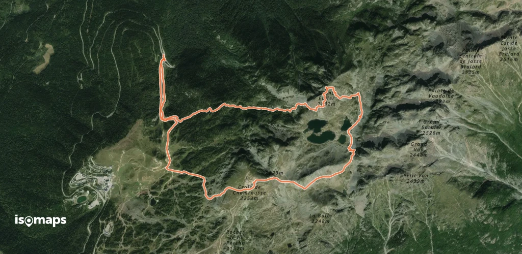
Les Sept Laux le Pleynet, France
6,22 km +1 413 m 3h 15min
Difficile
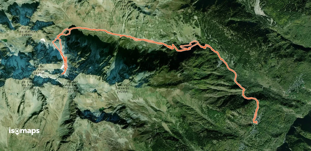
Saint-Alban-des-Villards, France
16,19 km +1 471 m 5h 0min
FacileEssayez Isomaps gratuitement pendant 7 jours. Disponible sur iOS et Android.


