500 Touren in Ecrins. Finden Sie Ihre nächste Route auf Isomaps — Topokarten, GPS und Höhenprofil.
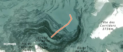
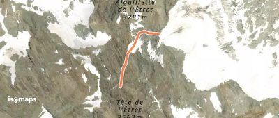
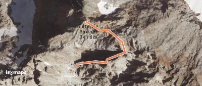
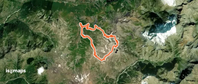
Glacier de l'Étret, France
849 m +700 m 15min
Sehr schwer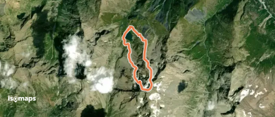
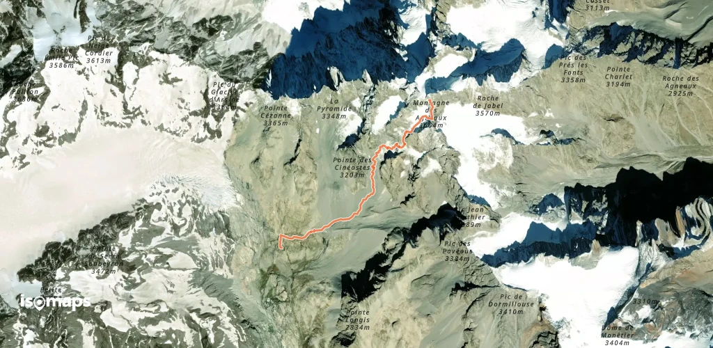
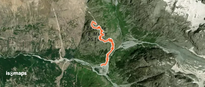
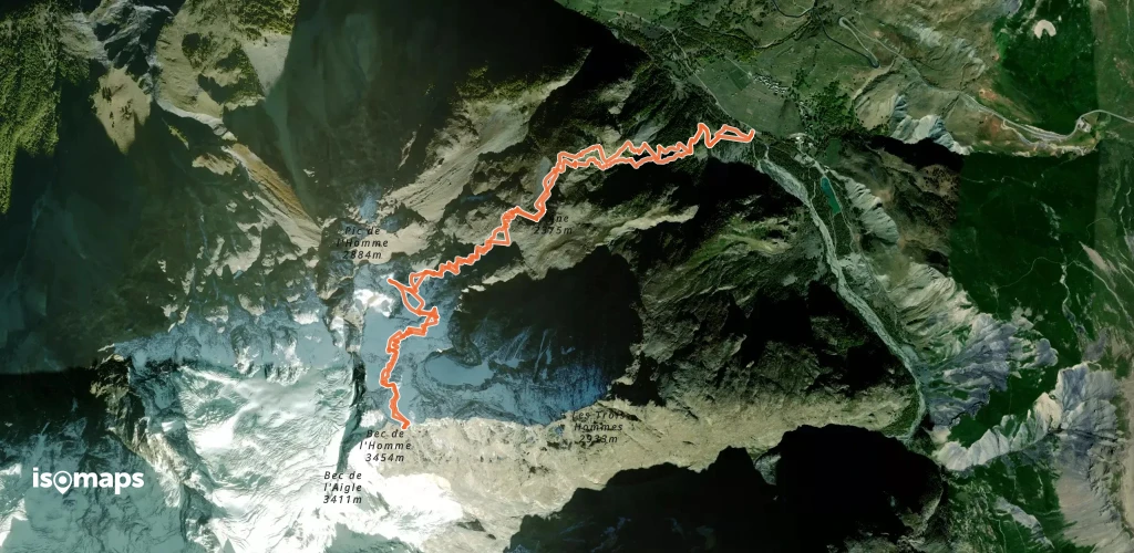
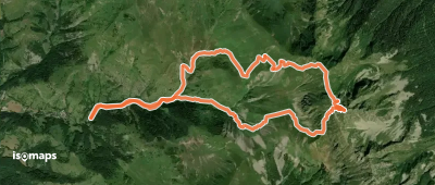
Pic des Pavéous, France
2,96 km +1 148 m 2h 20min
Mittel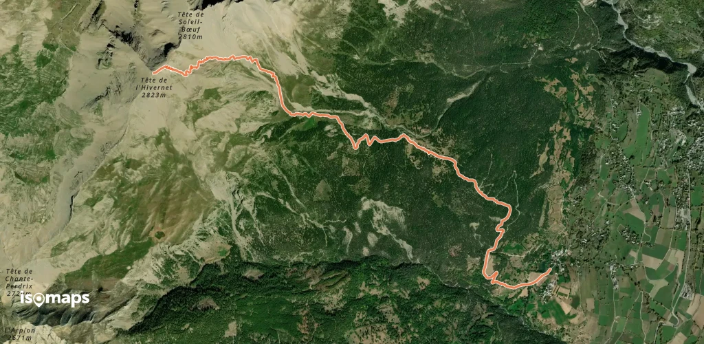
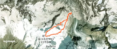
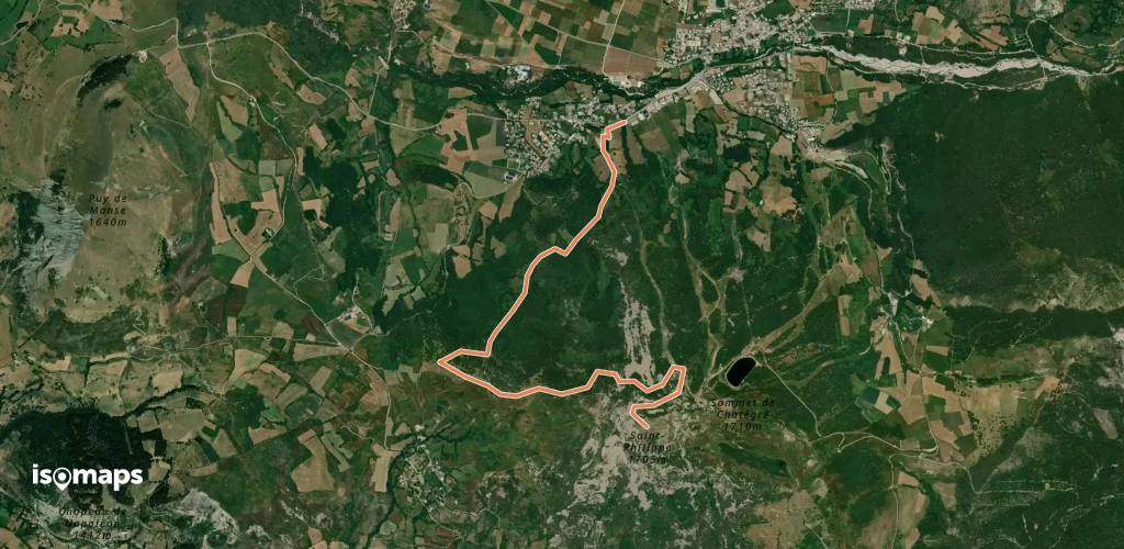
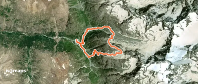
Glacier de la Pilatte, France
2,28 km +818 m 1h 50min
Mittel
Testen Sie Iso Maps 7 Tage kostenlos. Verfügbar für iOS und Android.
