500 Touren in Ecrins. Finden Sie Ihre nächste Route auf Isomaps — Topokarten, GPS und Höhenprofil.

Pic Sans Nom, France
17,54 km +3 023 m 4h 0min
Mittel
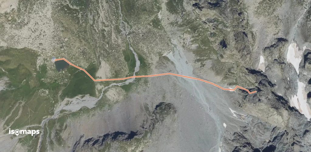
Aiguille Plat de la Selle, France
2,36 km +569 m 55min
Mittel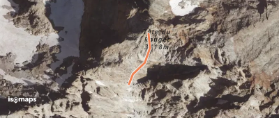
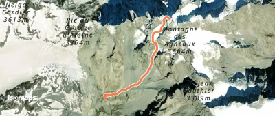
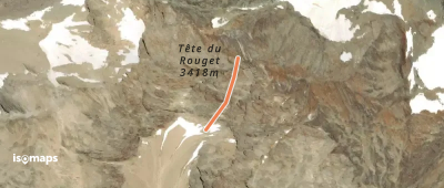
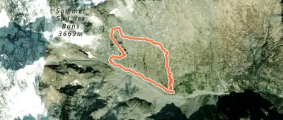
Pic des Pavéous, France
2,61 km +1 103 m 2h 0min
Schwer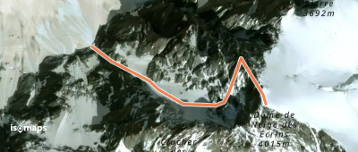
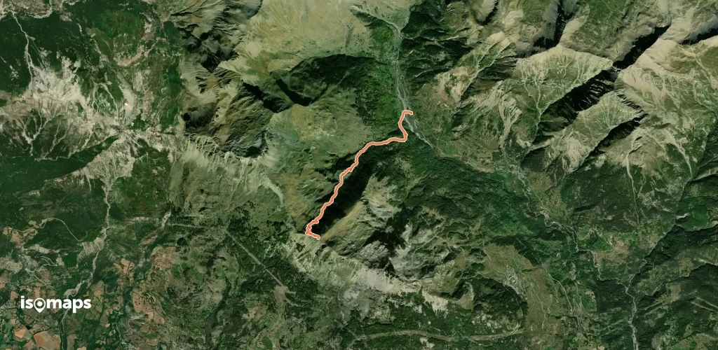
Glacier de la Bonne Pierre, France
938 m +1 001 m 10min
Mittel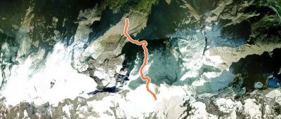
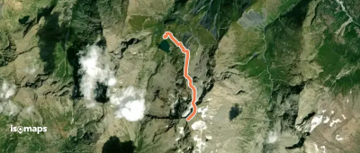
Glacier du Tabuchet, France
4,46 km +1 158 m 2h 15min
Mittel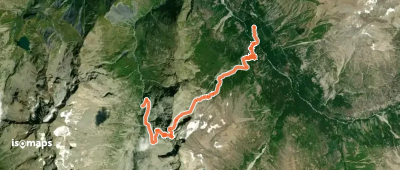
Cime du Soreiller, France
8,43 km +1 271 m 2h 40min
Mittel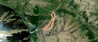
Roche de la Muzelle, France
3,40 km +12 m 30min
Mittel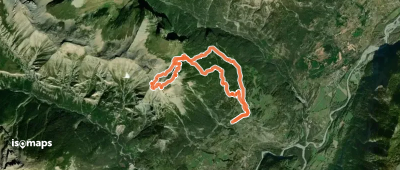


Testen Sie Iso Maps 7 Tage kostenlos. Verfügbar für iOS und Android.
