Ecrins

226 Touren in Ecrins. Finden Sie Ihre nächste Route auf Isomaps — Topokarten, GPS und Höhenprofil.
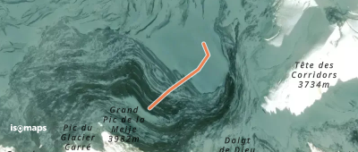
La Meije - Grand Pic - Couloir Gravelotte

Meije, France

347 m +323 m 5min

Sehr schwer
Pointe de la Muande - Versant N

, France

7,80 km +1 500 m 3h 25min

Mittel
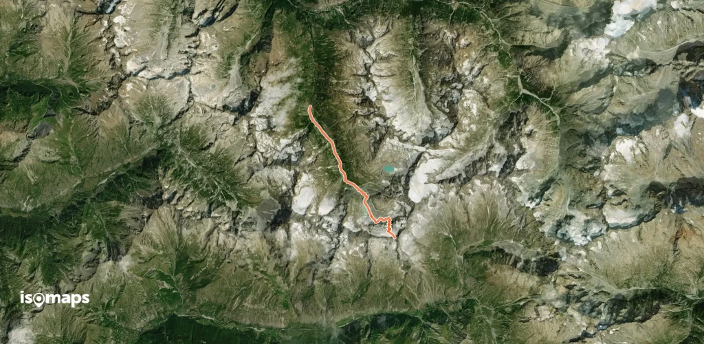
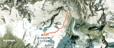
Mont Gioberney - Arête NE

Pics du Says, France

4,67 km +839 m 1h 55min

Mittel
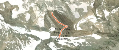
Pointe du Vallon des Étages - Face N - Voie Fourastier

Glacier de l'Étret, France

849 m +700 m 15min

Sehr schwer
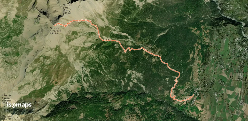
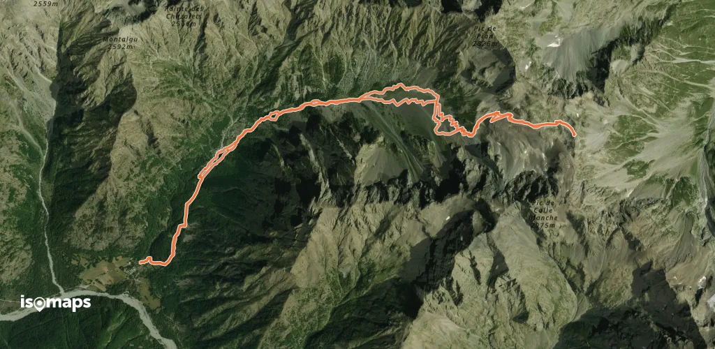
Tête de l'Hivernet, par la combe Est

La Reste, France

6,99 km +1 647 m 3h 5min

Mittel
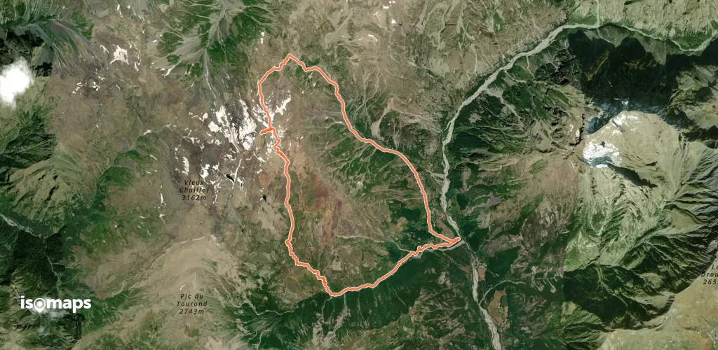
Pointe des Moutieres, Boucle Sud Nord

Les Borels, France

16,11 km +1 937 m 5h 45min

Mittel
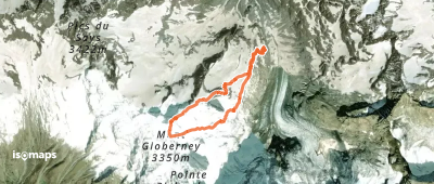
Mont Gioberney - Arête S (voie normale)

Glacier de la Pilatte, France

2,28 km +818 m 1h 50min

Mittel
Sommet des pistes de Chaillol

Les Marrons, France

2,47 km +384 m 1h 5min

Sehr einfach
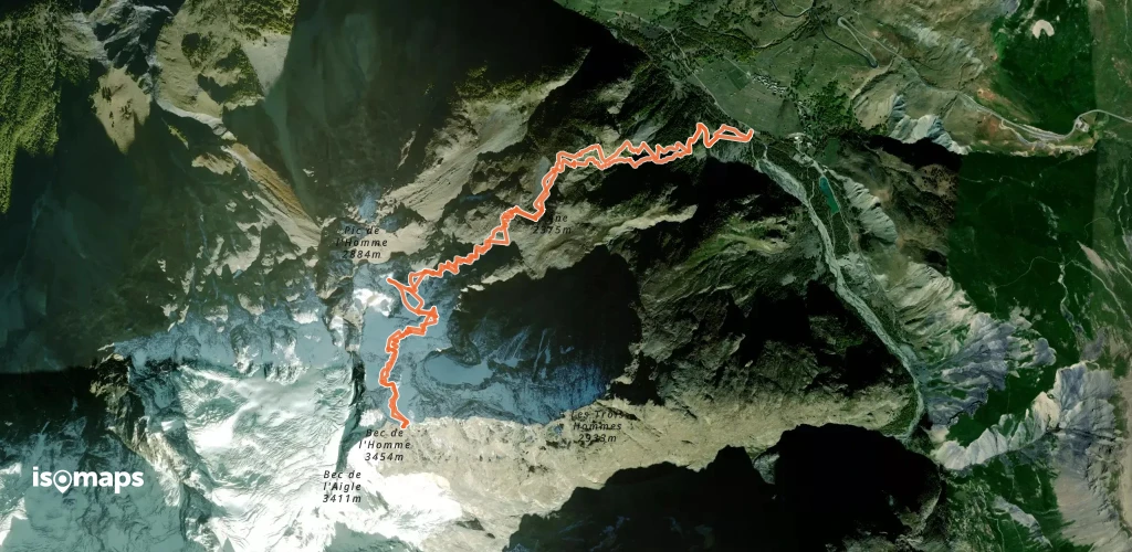
Bec de l'Homme, Face Nord

Le Pied du Col, France

10,92 km +1 873 m 4h 45min

Schwer
Petit Renaud, Face N

Villard-Reymond, France

4,90 km +974 m 2h 30min

Schwer
Col de Font Froide - Versant W

, France

12,94 km +1 385 m 4h 30min

Einfach
Tour du Pic de Parières

La Chapelle-en-Valgaudémar, France

18,97 km +2 325 m 6h 25min

Mittel
Grand Chapelet, versant W

Fallavaux, France

9,23 km +1 235 m 3h 30min

Mittel
Vieux Chaillol - de Molines en Champsaur

Vieux Chaillol, France

22,74 km +2 414 m 6h 45min

Schwer
Barre des Ecrins, Couloir Coolidge

Pic des Pavéous, France

9,54 km +2 196 m 4h 45min

Sehr schwer
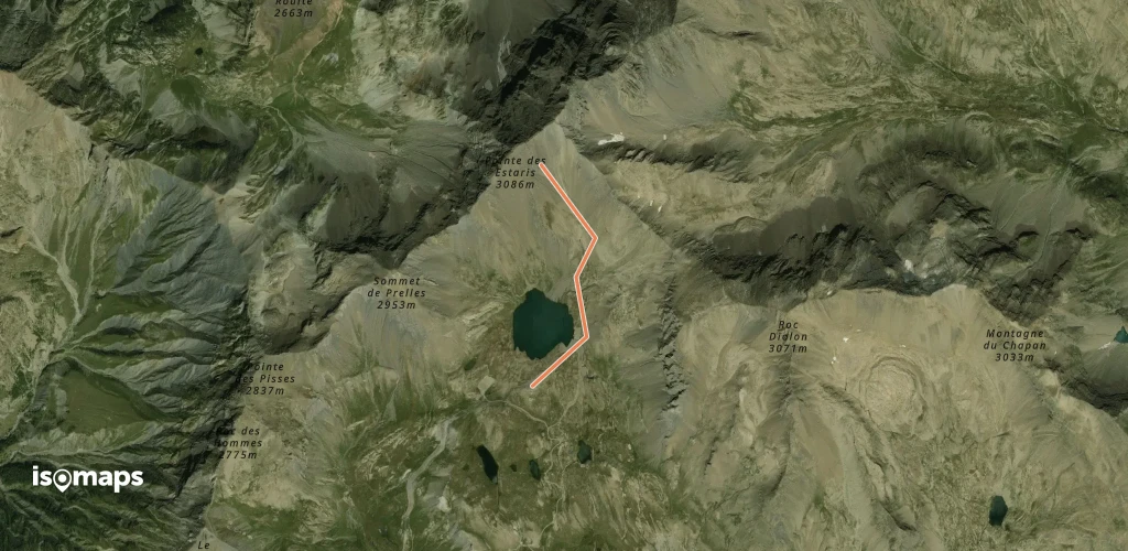
Pointe des Estaris - Face SE

, France

1,65 km +492 m 1h 0min

Mittel
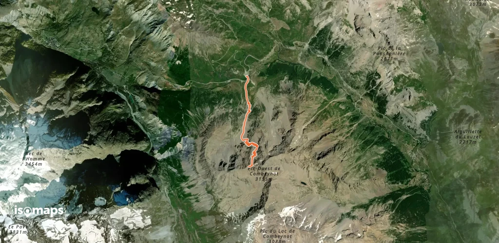
Pic Ouest du Combeynot, Face NE du Point 3072m

Col du Lautaret, France

4,38 km +1 159 m 2h 10min

Schwer
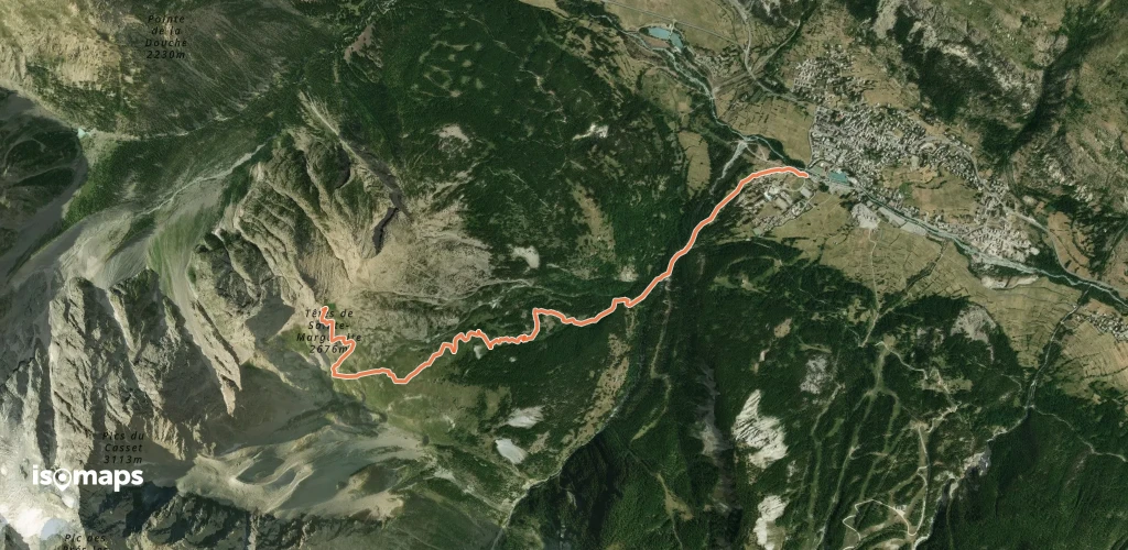
Têtes de Sainte Marguerite - Versant SE

, France

4,79 km +1 205 m 3h 0min

Einfach
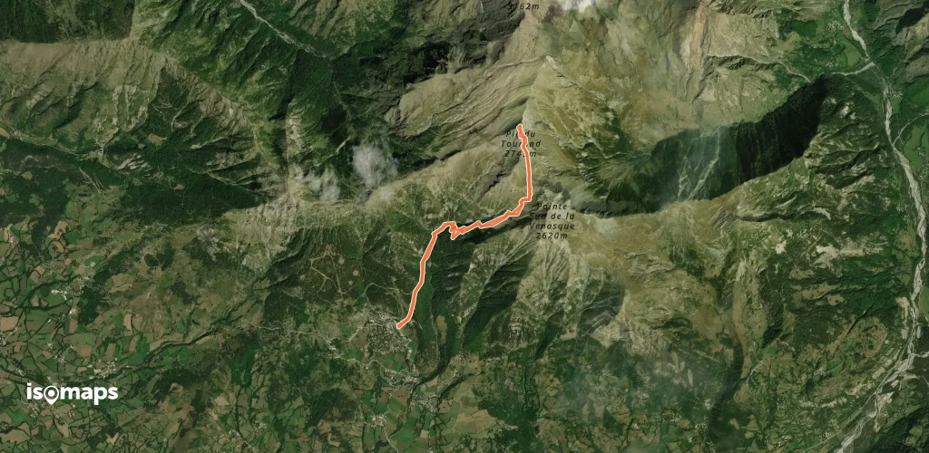
Pic du Tourond - Versant S

, France

9,61 km +1 143 m 3h 30min

Einfach

Bereit für Ihren nächsten Ausflug?

Testen Sie Isomaps 7 Tage kostenlos. Verfügbar für iOS und Android.

Für iOS herunterladen Für Android herunterladen APK (ohne Google)
Isomaps Deine Outdoor-Touren, überall, auch offline
Installieren Installieren