500 Touren in Ecrins. Finden Sie Ihre nächste Route auf Isomaps — Topokarten, GPS und Höhenprofil.

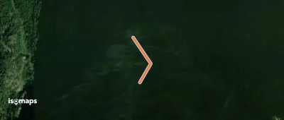
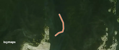
Mont-de-Lans, France
254 m +395 m 5min
Mittel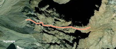
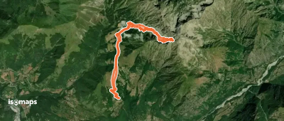
Montagne de Cedera, France
276 m +330 m 5min
Mittel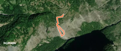
Plateau D'Emparis, France
302 m +278 m 5min
Mittel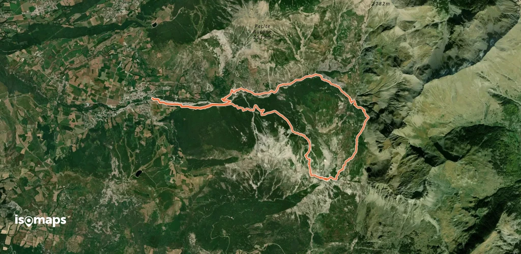
Le Bourg-d'Oisans, France
1,44 km +1 396 m 1h 0min
Mittel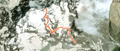
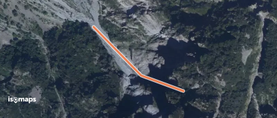
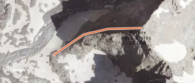
Sommet de l'Ailefroide, France
4,29 km +1 605 m 3h 5min
Mittel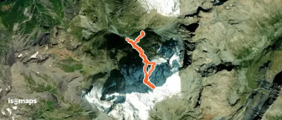
La Bernardière, France
3,80 km +1 533 m 3h 5min
Mittel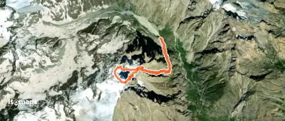
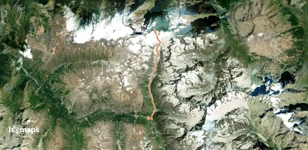
Le Petit Pelvoux, France
11,14 km +3 336 m 4h 30min
Mittel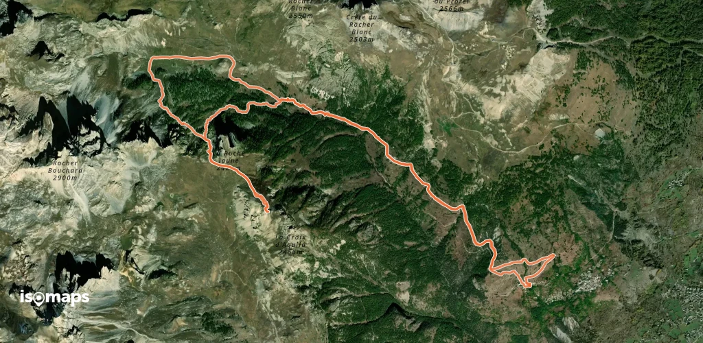
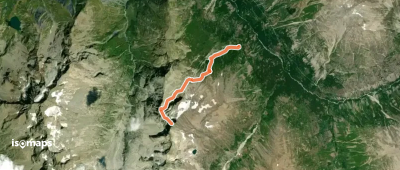
Puy-Saint-André, France
14,31 km +1 044 m 4h 0min
Einfach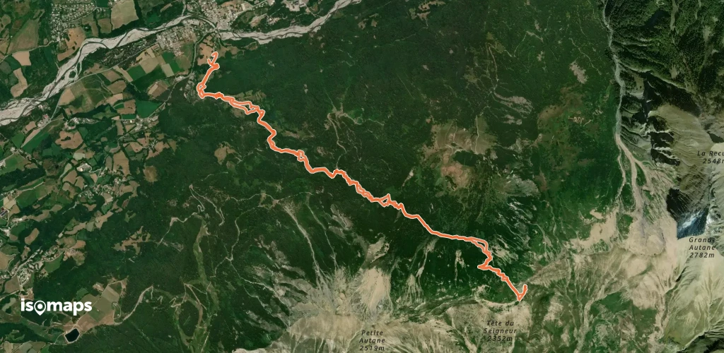
Grande Autane, France
11,73 km +1 339 m 4h 5min
Einfach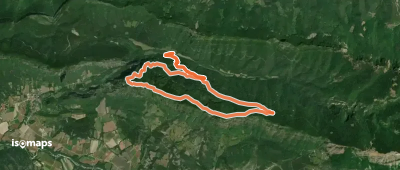
Testen Sie Iso Maps 7 Tage kostenlos. Verfügbar für iOS und Android.
