500 Touren in Ecrins. Finden Sie Ihre nächste Route auf Isomaps — Topokarten, GPS und Höhenprofil.
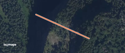
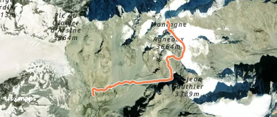
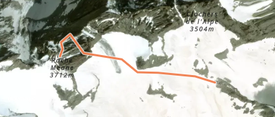
Pic des Agneaux, France
393 m +409 m 5min
Sehr schwer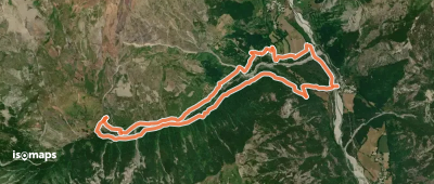
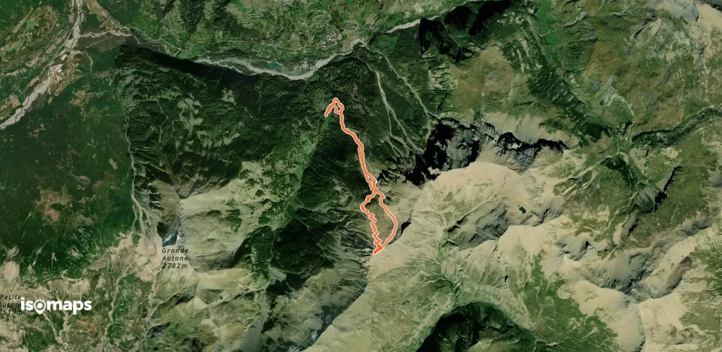
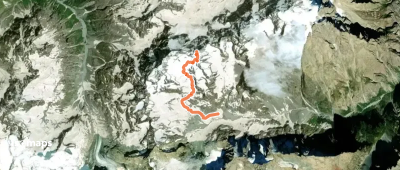
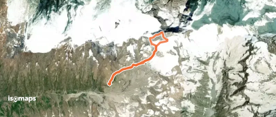
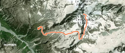
Tête de Lauranoure, France
7,22 km +1 538 m 3h 10min
Mittel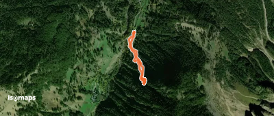

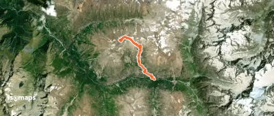
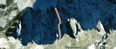
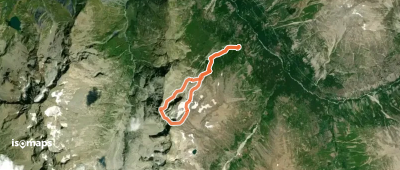
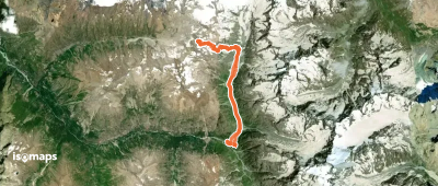
Aiguille Plat de la Selle, France
11,23 km +1 460 m 2h 55min
Mittel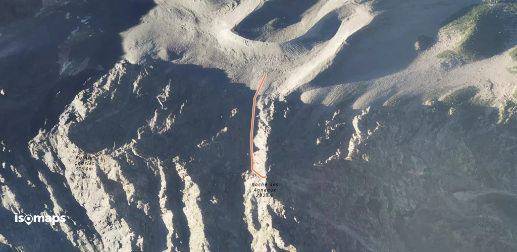


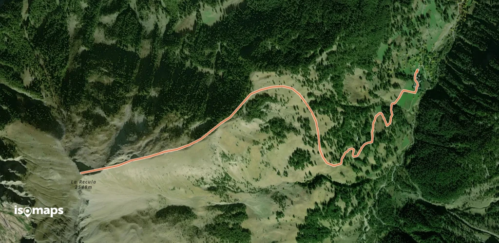
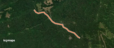
Saint-Léger-les-Mélèzes, France
3,97 km +755 m 2h 0min
Sehr einfachTesten Sie Iso Maps 7 Tage kostenlos. Verfügbar für iOS und Android.
